Historical research and investigation of current land use
Carmel, Monterey and Big Sur occupy Ohlone/Costanoan and Esselen lands. At the time of European arrival, Ohlone communities reached North to San Francisco Bay and South to the Little Sur River. Land further South into Big Sur and East to Soledad is home to the Esselen tribe, who acquired some 1,200 acres near the top of the Little Sur River on the border of Los Padres National Forest, in 2020. More information can be found at: https://www.esselentribe.org/our-land
Sebastián Vizcaíno, a Spanish soldier and explorer, spotted the peninsula from a ship in 1602 and named it Monterey for a patron. Junipero Serra, a Franciscan priest, arrived there in 1770 to establish a Catholic mission. Ohlone and Esselen were among many coastal tribes forced to assimilate under Christianity as “Mission Indians."
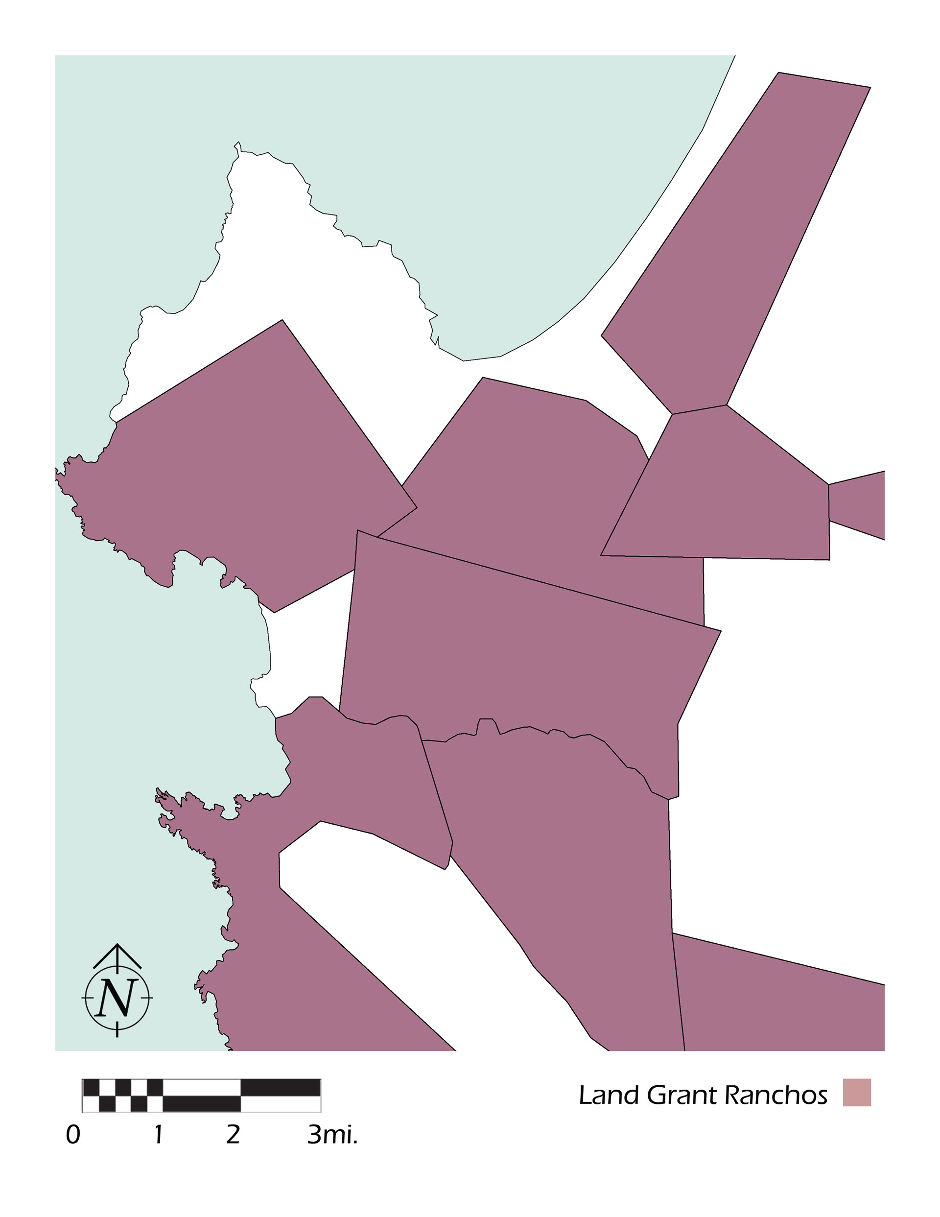
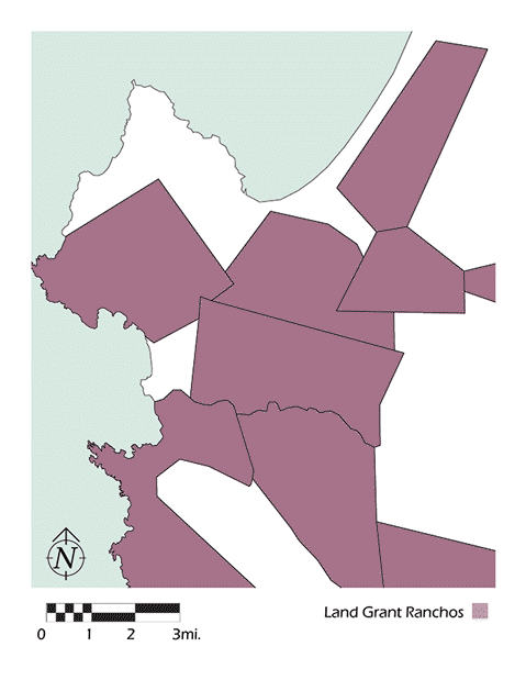
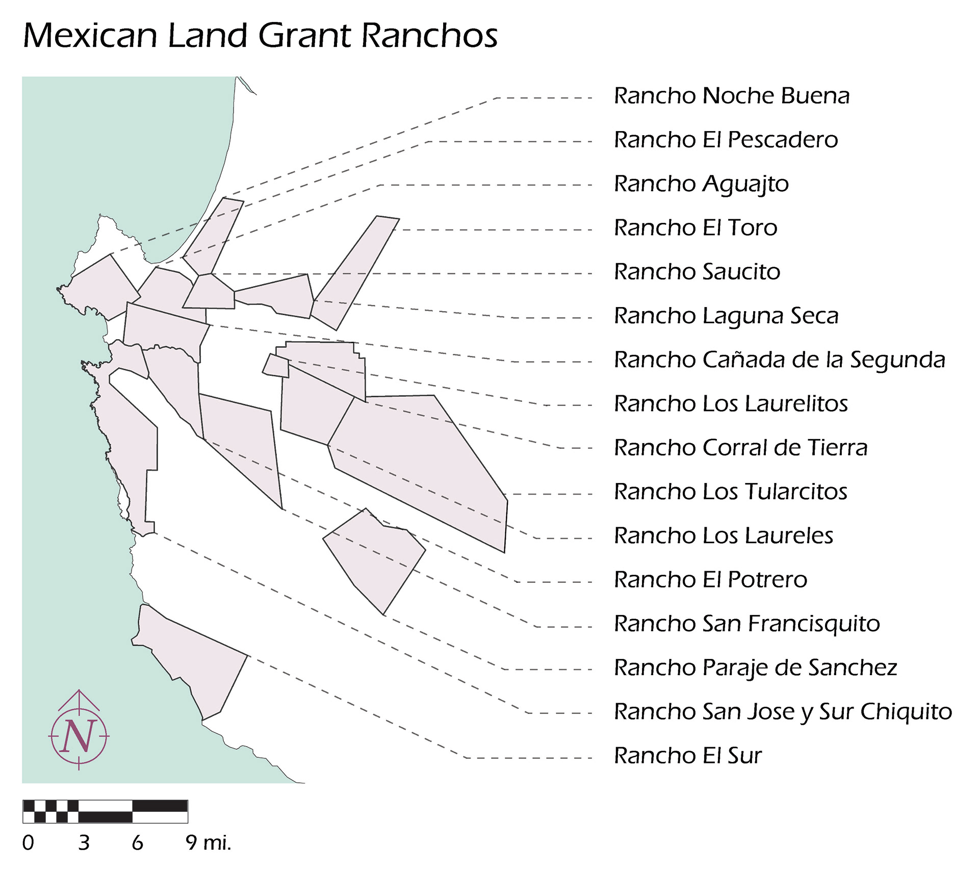
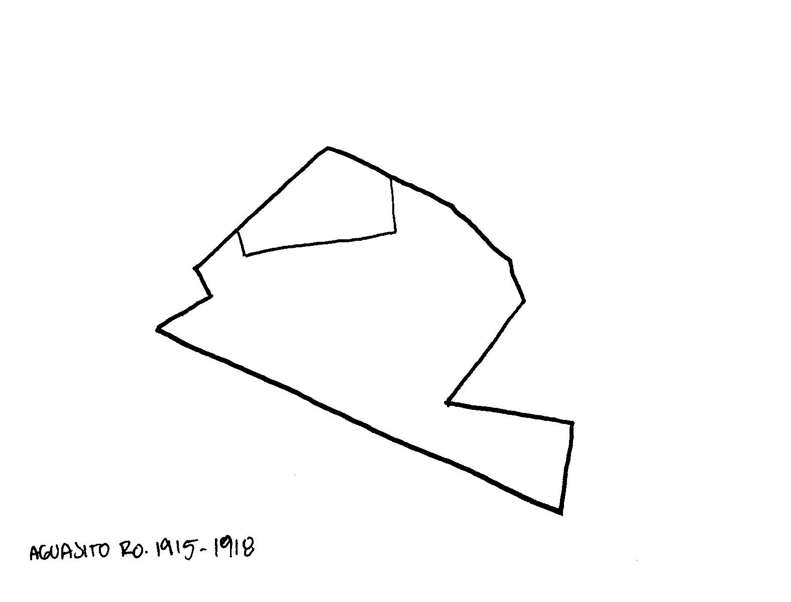
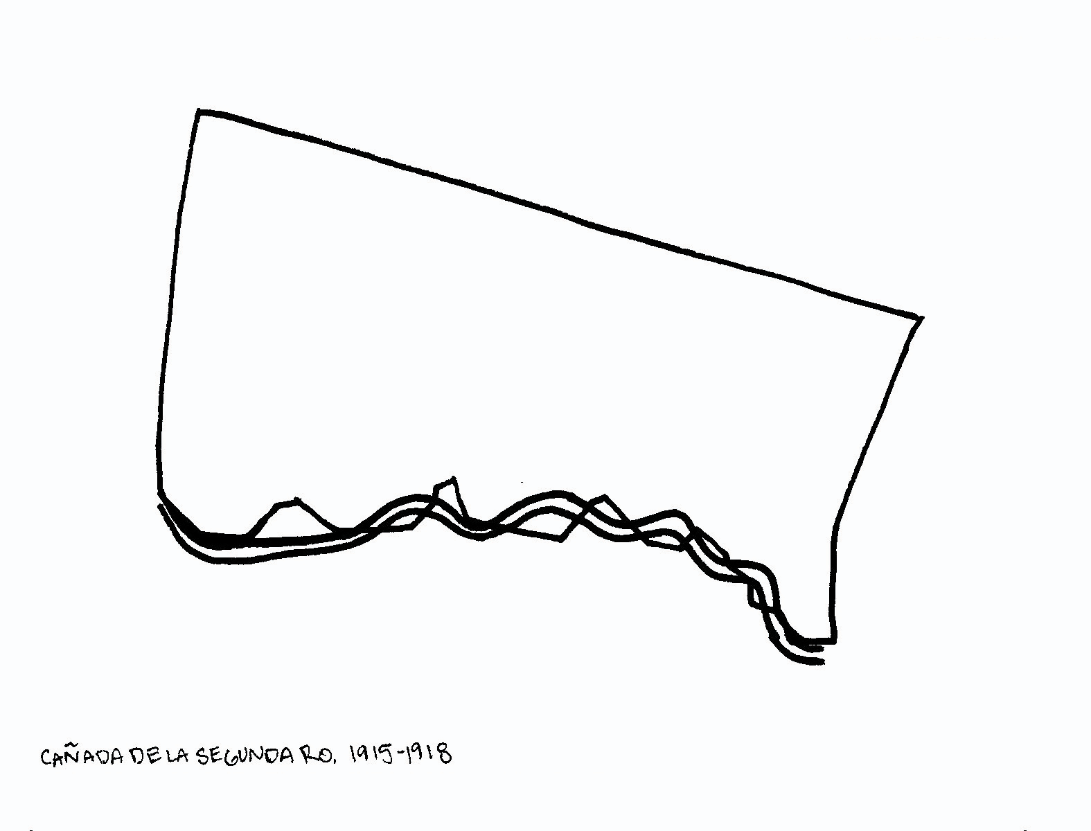
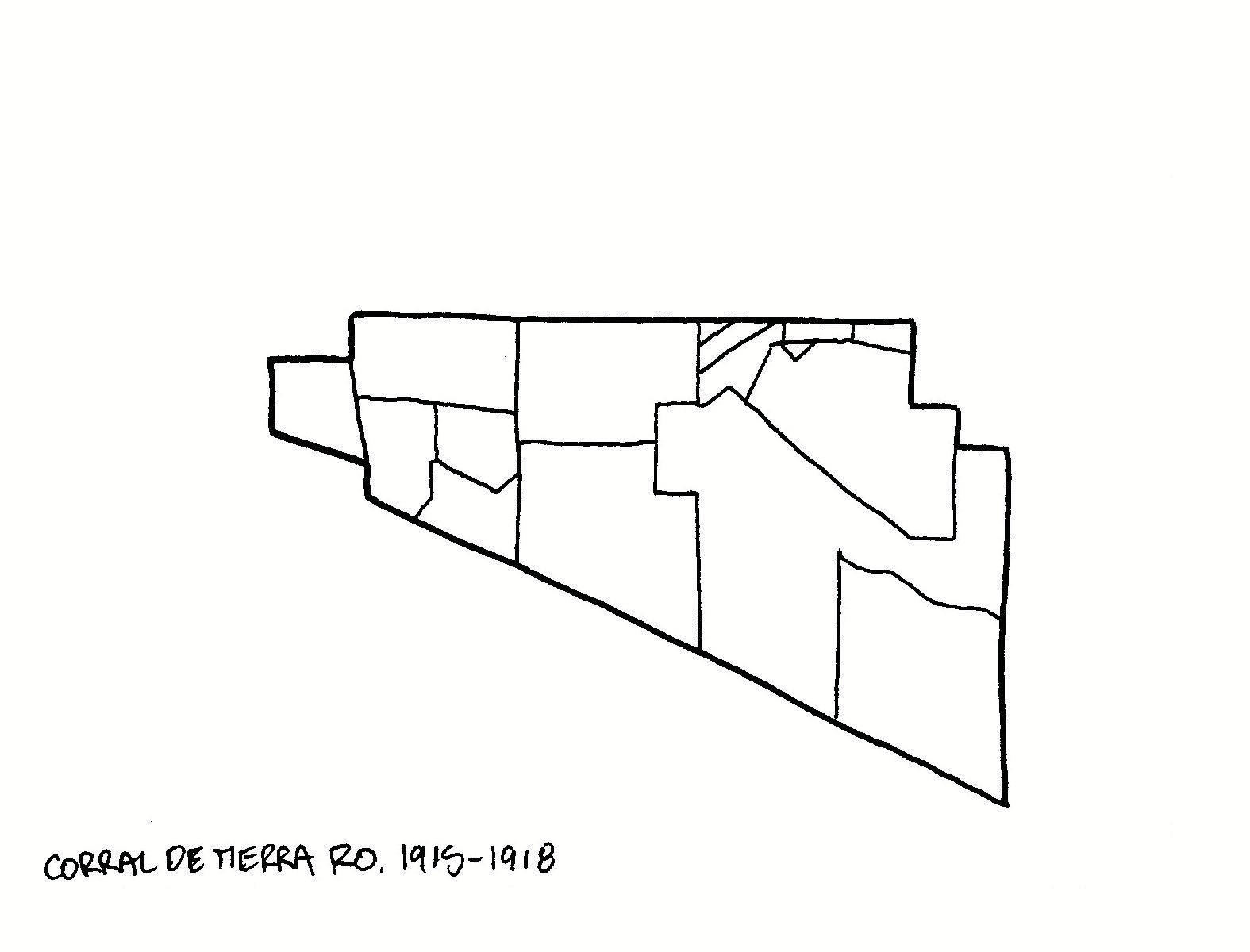
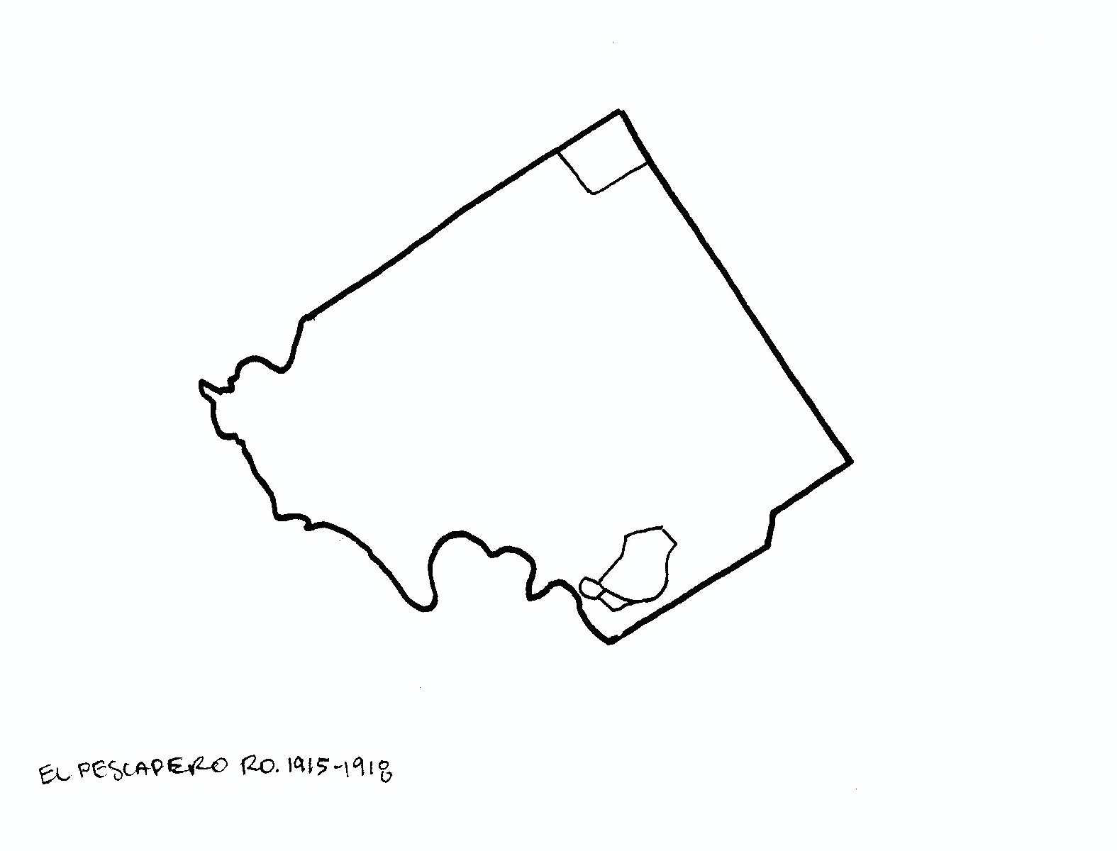
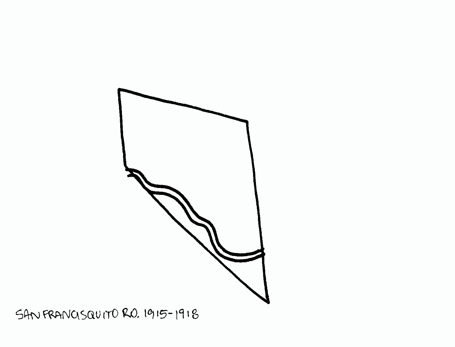
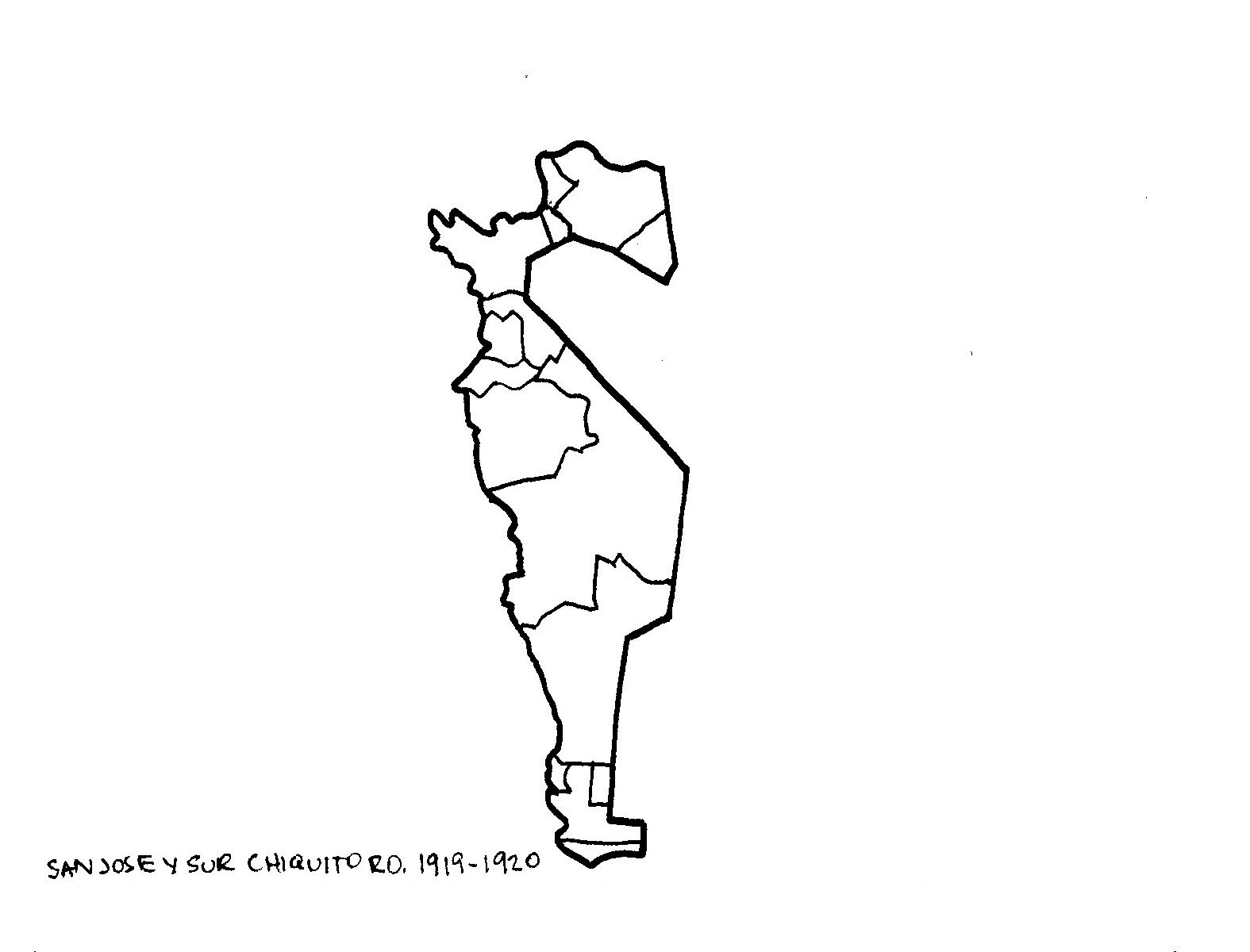
Mexican independence from Spain and the secularization of the missions in 1833 shifted power and land ownership from Spanish to Mexican governments. Mission properties and surrounding tracts were granted to Mexican soldiers and settlers. Some indigenous people stayed to worked at these Ranchos.
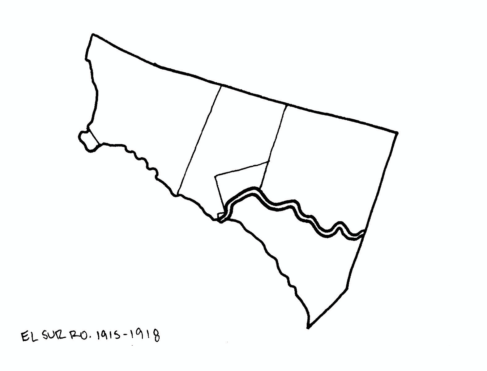
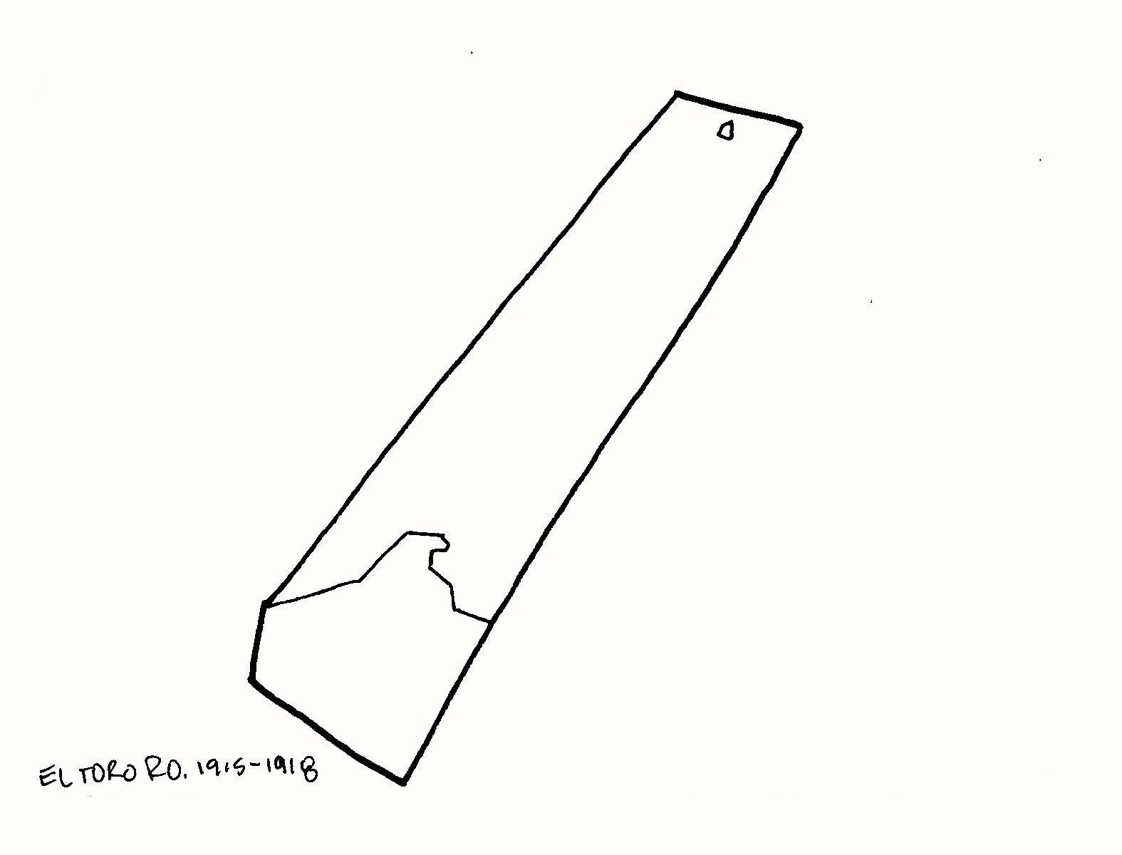
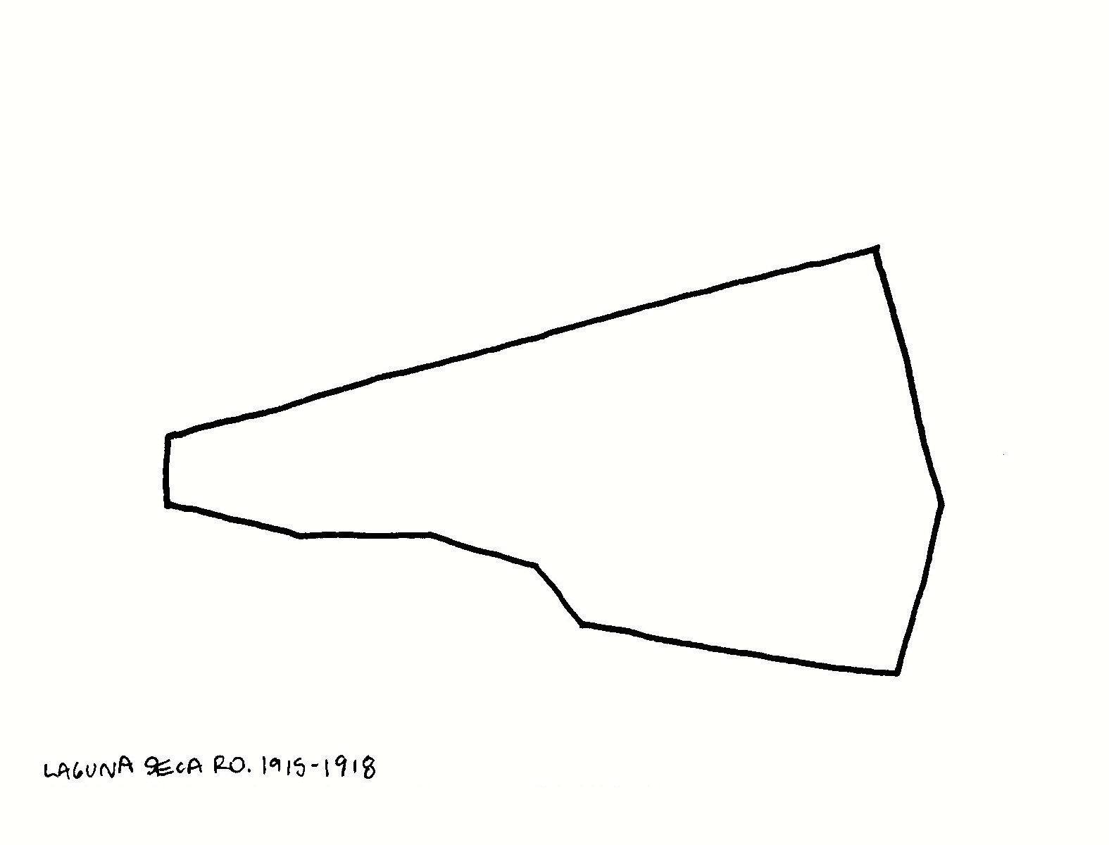
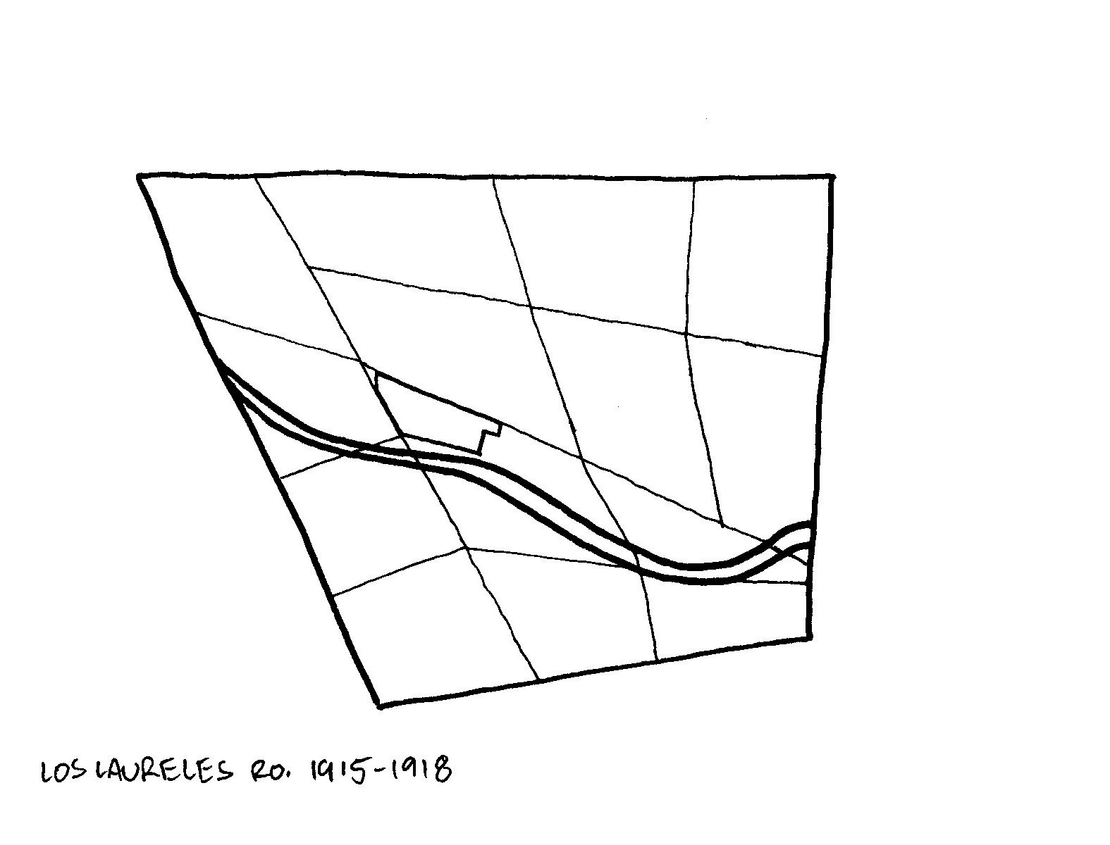
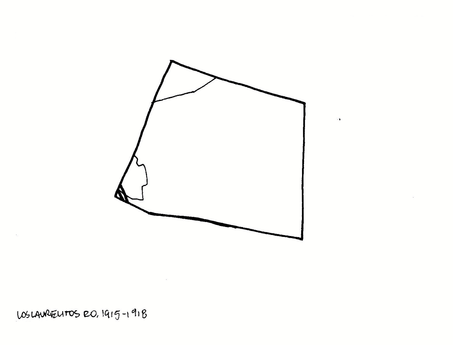
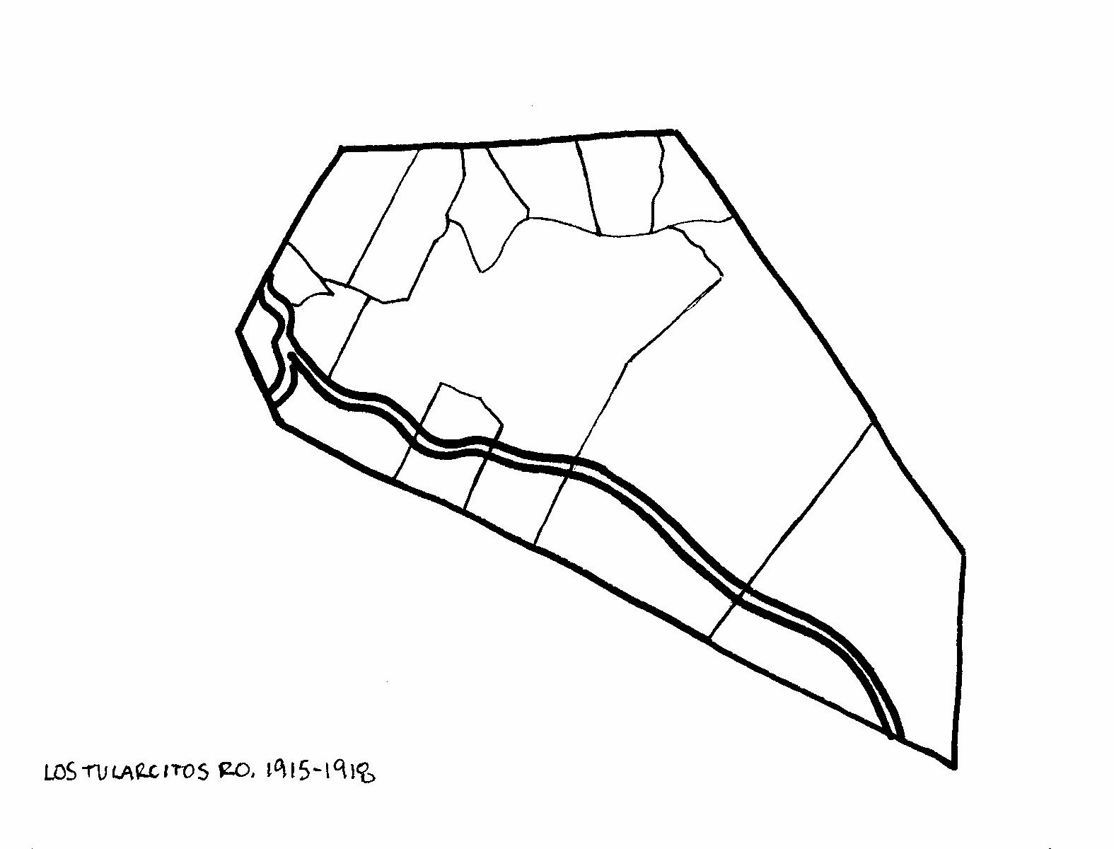
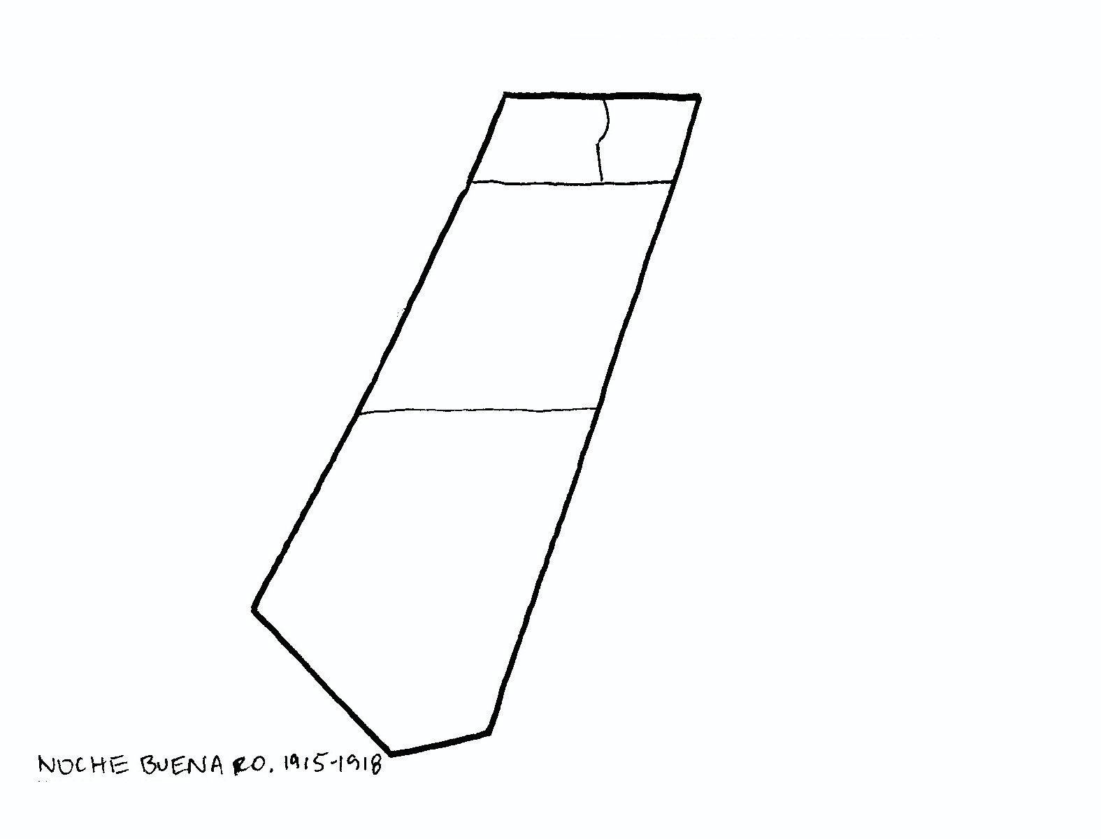
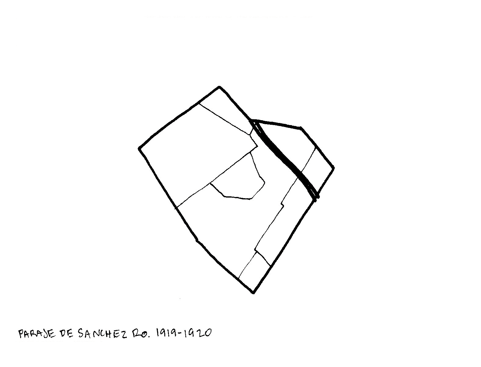
Below are maps of the Mexican Ranchos central to Carmel and Monterey areas. These animated images show property ownership changes between 1915 and 1957, as well as the completion of Highway 1 (represented by a dotted line) in the mid-late 1930's- and its impact on some of this zoning.
Carmel, Monterey and Big Sur Land Grants, 1915-1957

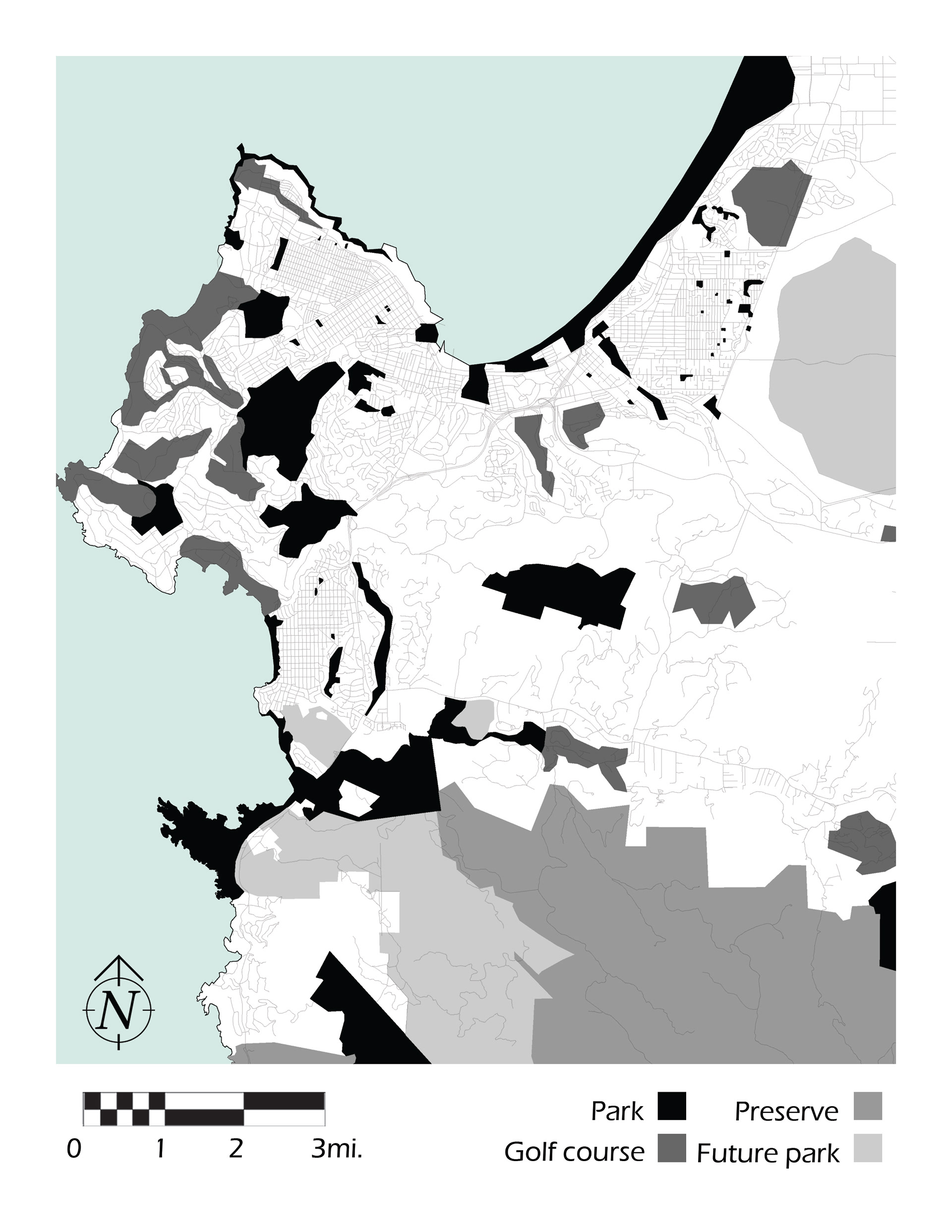
Mexican Land Grant Ranchos vs. Contemporary (2021) Developed Green Spaces