Suggested solutions for park planning and infrastructure
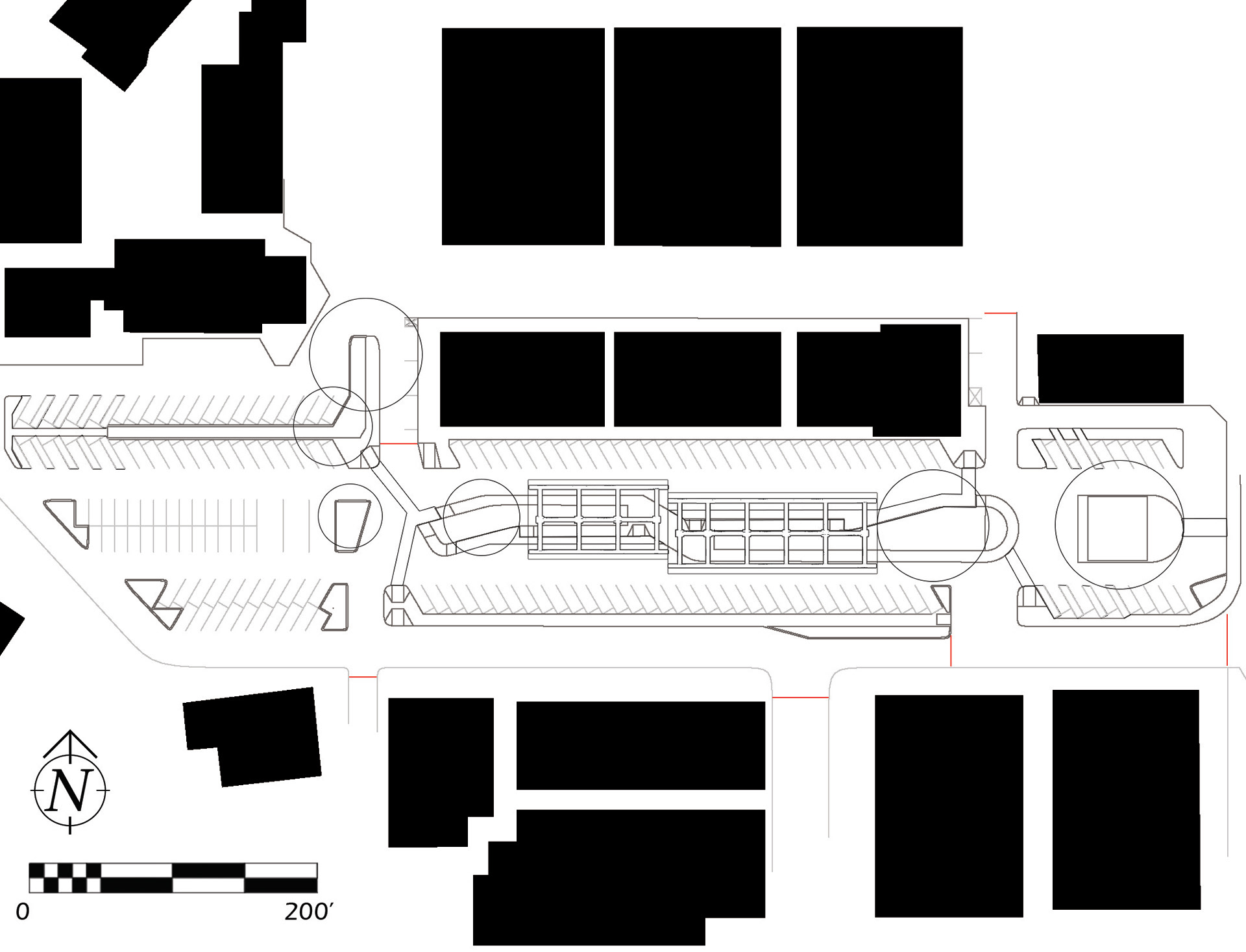
Park(IT) shuttle terminal
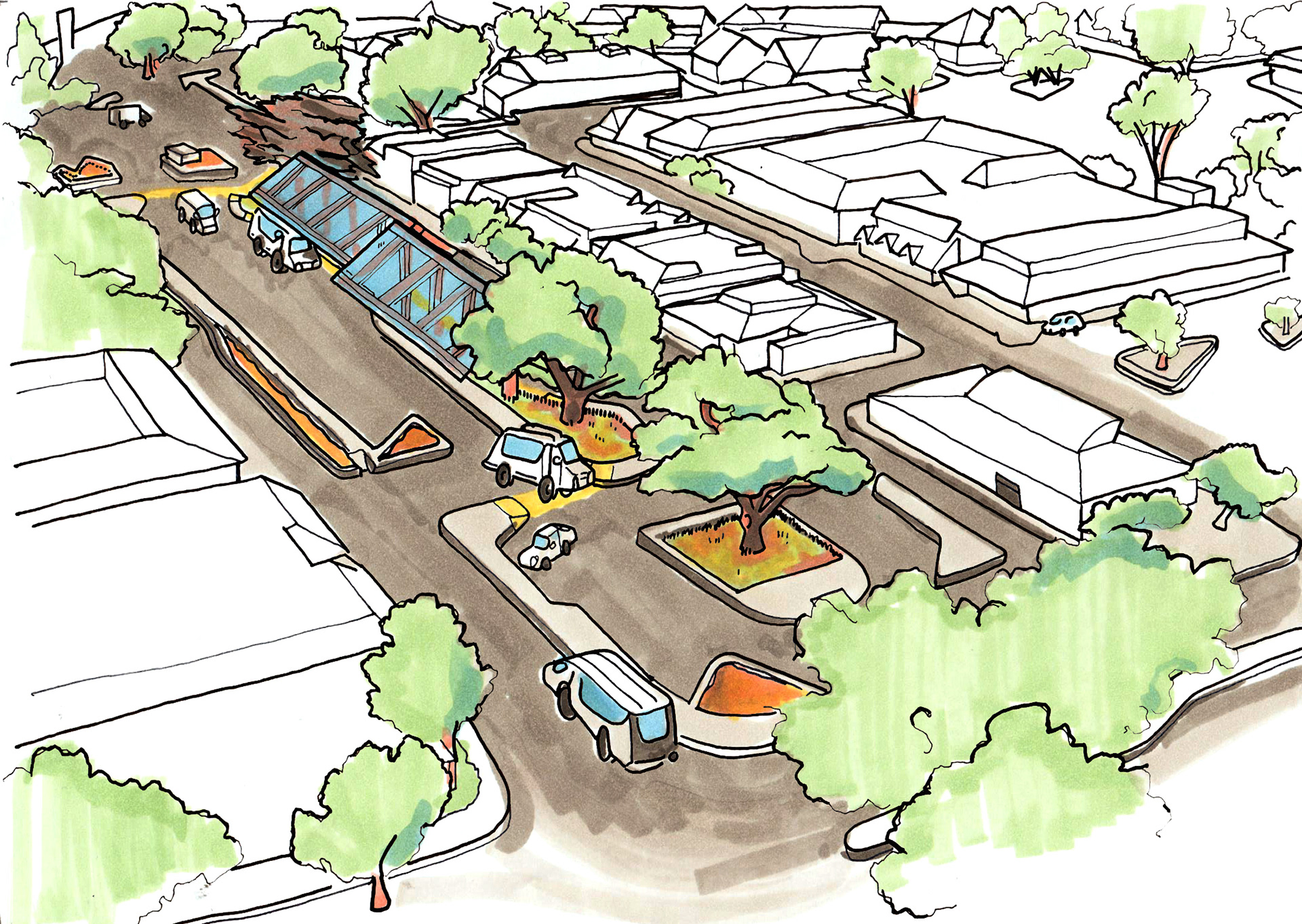
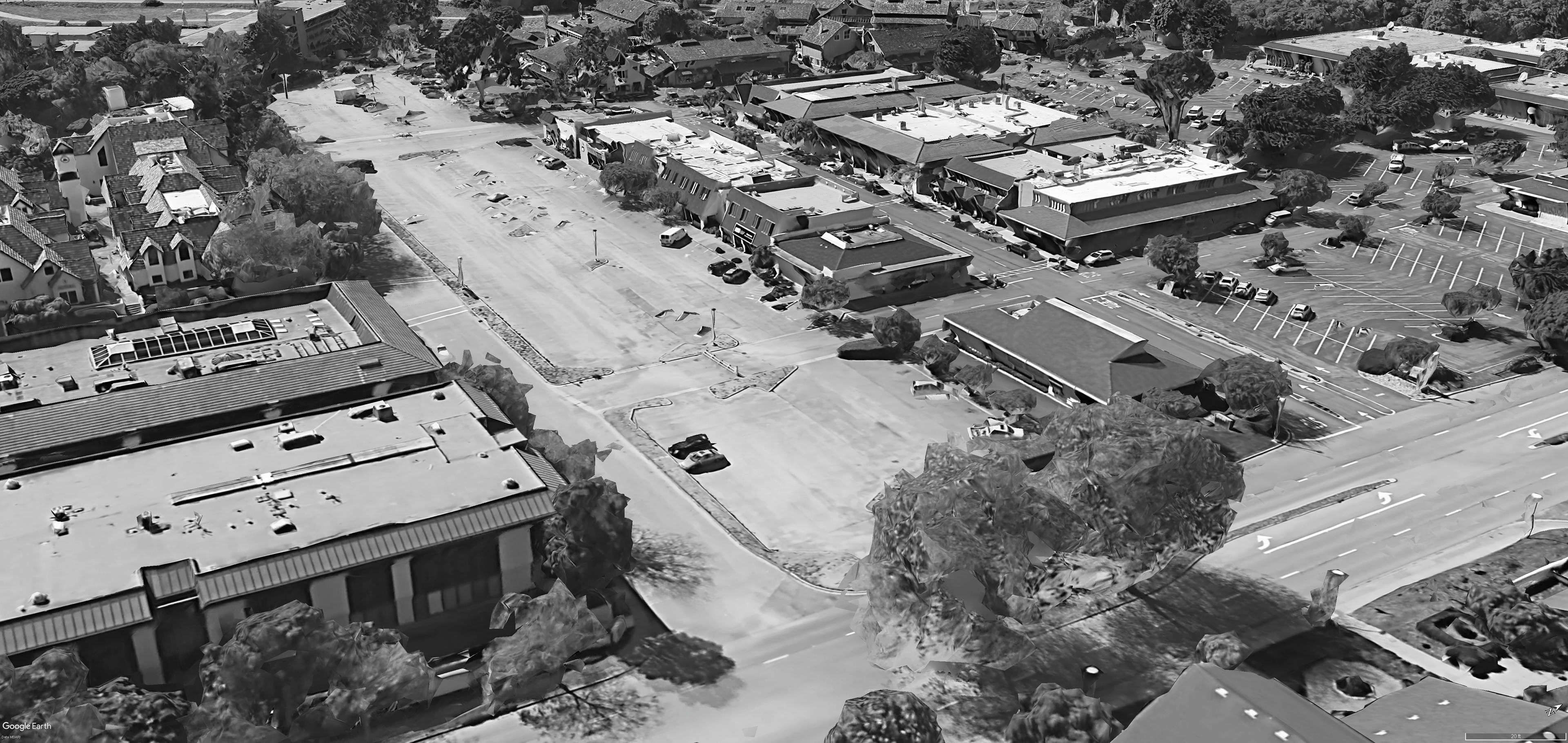
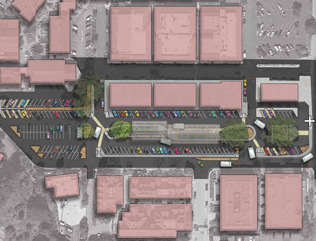
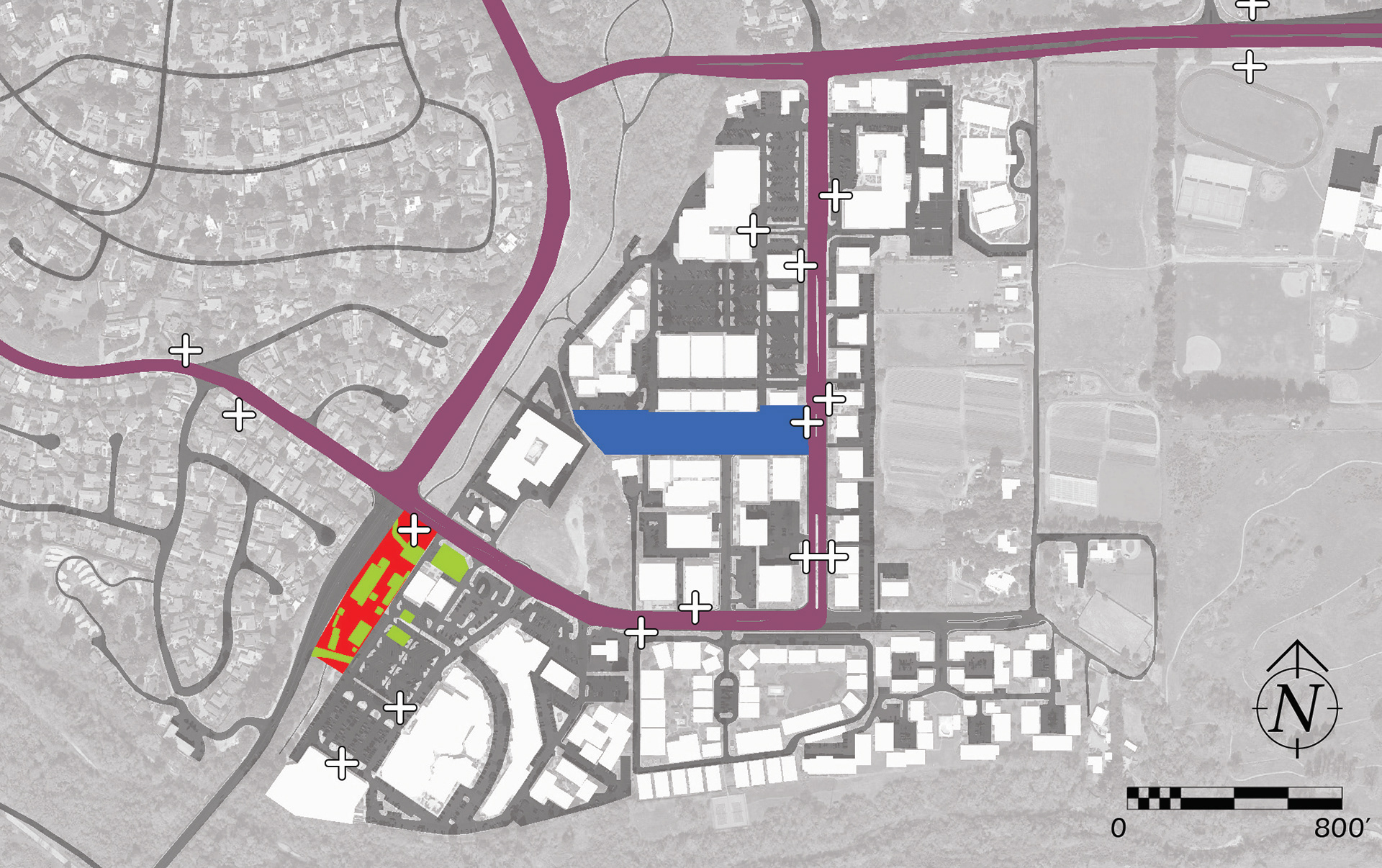
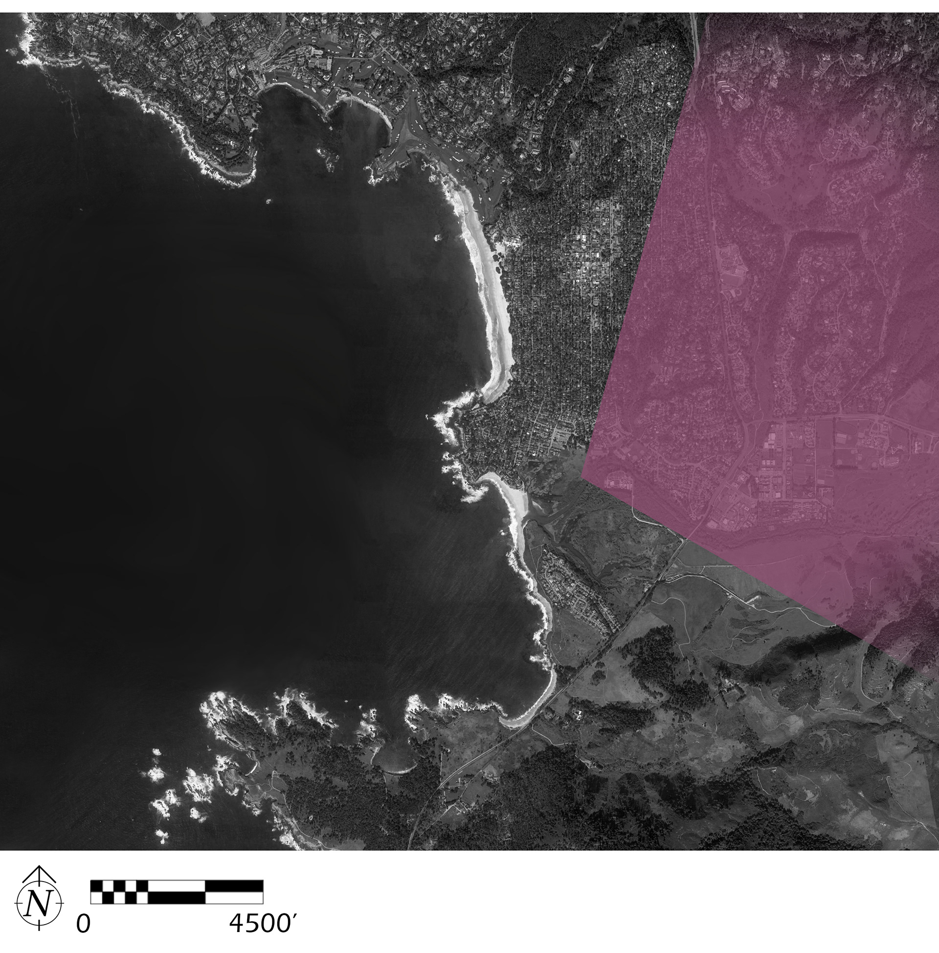
A paved parking area catered to shoppers visiting Carmel’s charming Barnyard Shopping Village renders a stretch of compacted and paved hardscape virtually useless to the community, as ample parking for the Barnyard exists closer to its entries. This relatively derelict site exhibits potential to be repurposed as a shuttle terminal for ParkIT, a grassroots effort to develop shuttle service to Ishxenta's various tracts. Changing the proposed location of the ParkIT terminal allows the space to find increased use value, while preserving Marathon Flats for its temporary use as a base for annual Big Sur Marathon operations and allowing further considerations for how this space might function as a park rather than a parking lot.
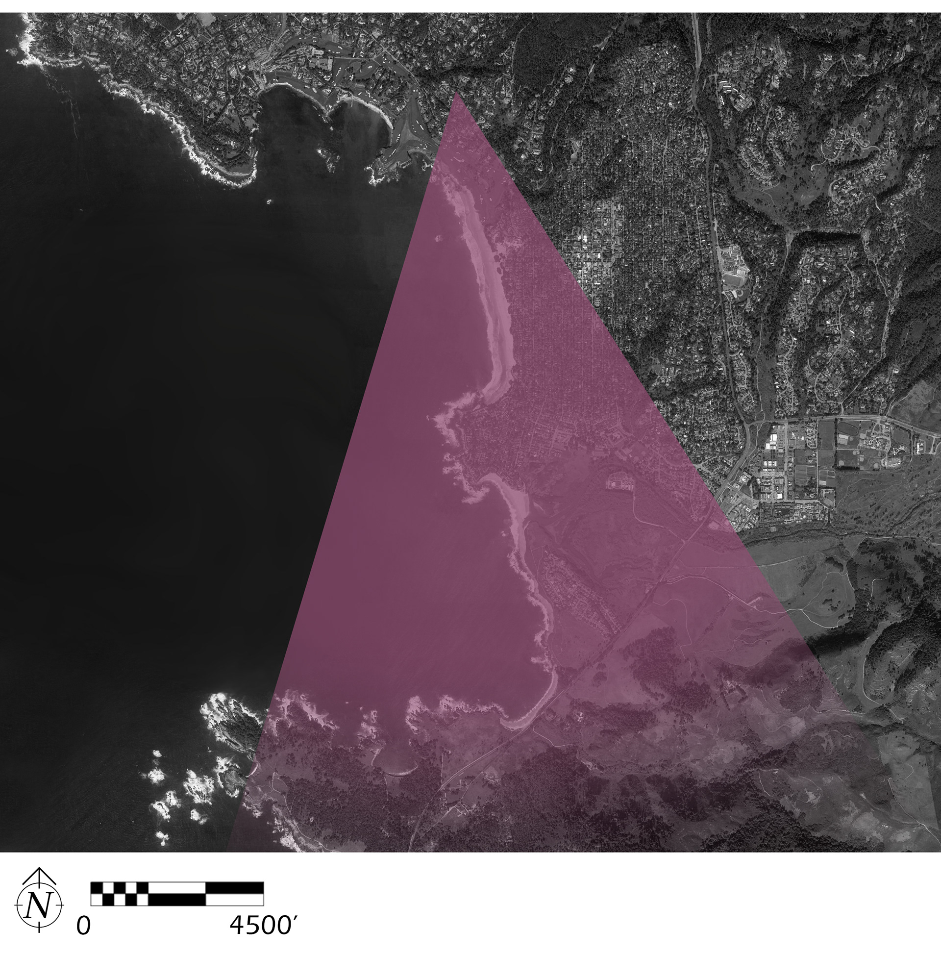
Carmel River estuary art history and restoration
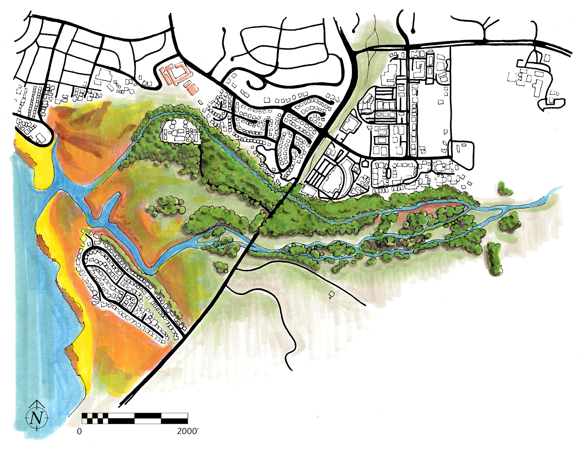
This series of views follows the Monterey Peninsula coastline South along Carmel Beach and into the Carmel River estuary, which is scheduled for riparian restoration work in the coming years as Ishxenta State Park opens in phases.
The mouth of the Carmel River has been acknowledged as a crucial ecosystem and resource. The following studies in repeat imagery aim to discuss its significance as a particularly beautiful and historically relevant location.
The mouth of the Carmel River has been acknowledged as a crucial ecosystem and resource. The following studies in repeat imagery aim to discuss its significance as a particularly beautiful and historically relevant location.
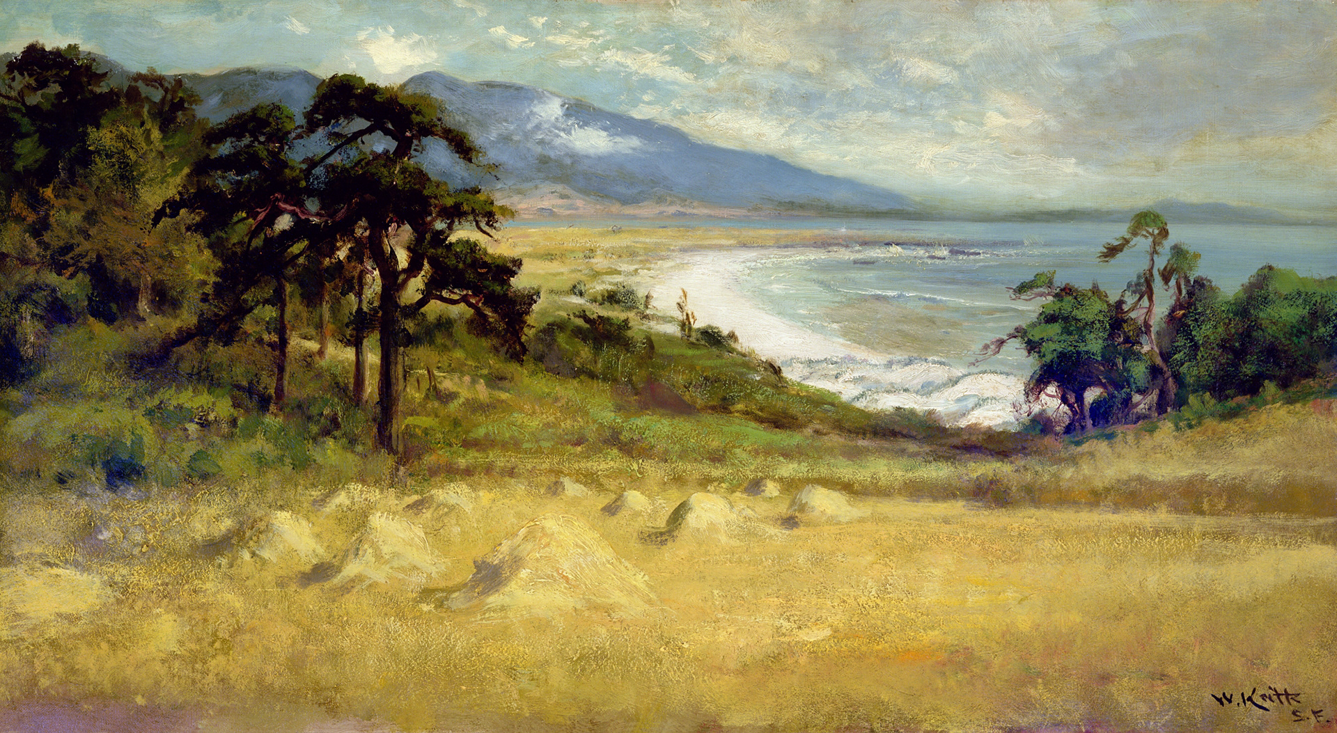
Carmel-by-the-Sea, William Keith, 1905
In Keith’s rendering, small mounds and large cypress trees provide a gentle slope down to Carmel Beach. Carmel River Beach and Point Lobos are in the background.
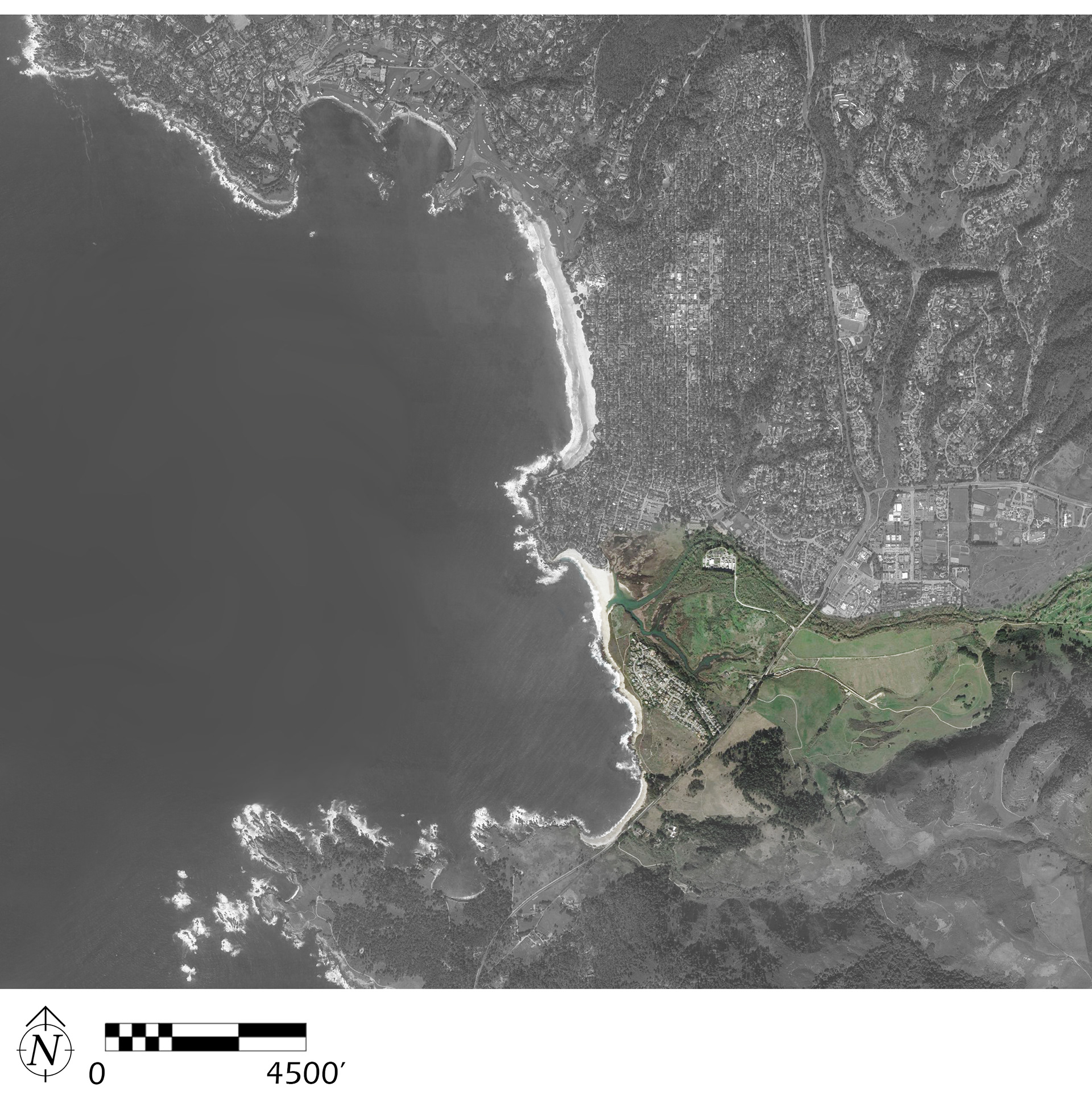
This viewshed is located on 17-Mile Drive in Del Monte Forest, home of Pebble Beach Golf Resort and an entire unincorporated community of residents who enjoy gated access to roughly half of the peninsula’s extruded area. Access to 17-mile drive is around $20 for visitors. Tour buses make the trip around Del Monte Forest daily.
This viewshed is located on 17-Mile Drive in Del Monte Forest, home of Pebble Beach Golf Resort and an entire unincorporated community of residents who enjoy gated access to roughly half of the peninsula’s extruded area. Access to 17-mile drive is around $20 for visitors. Tour buses make the trip around Del Monte Forest daily.
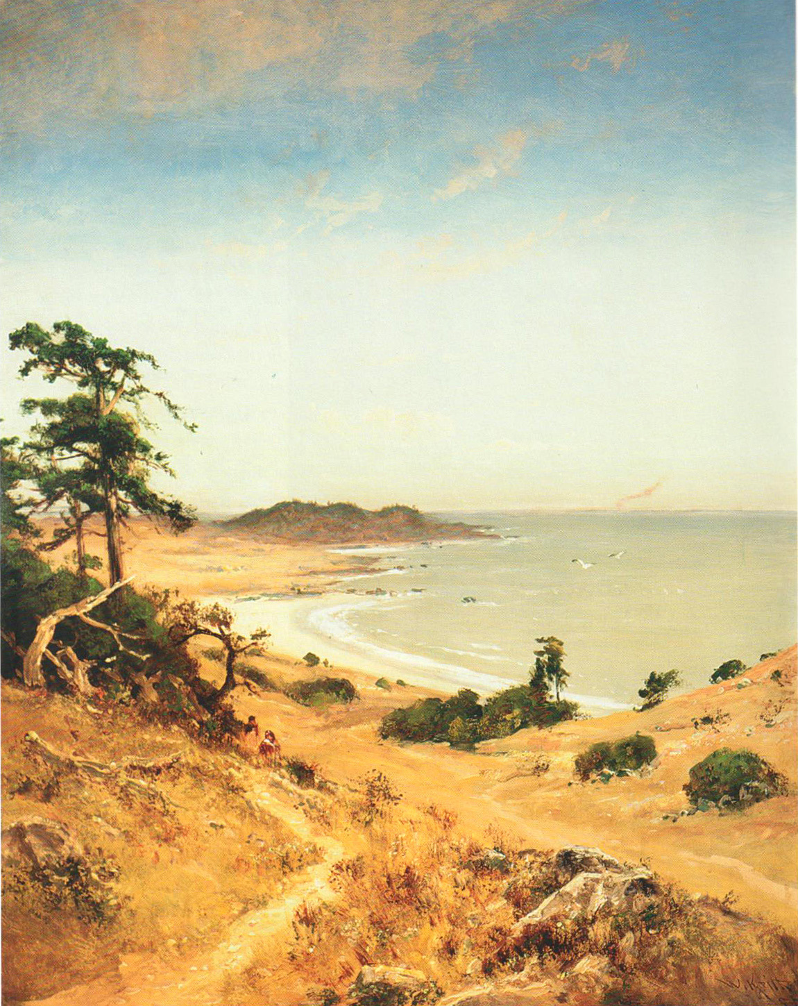
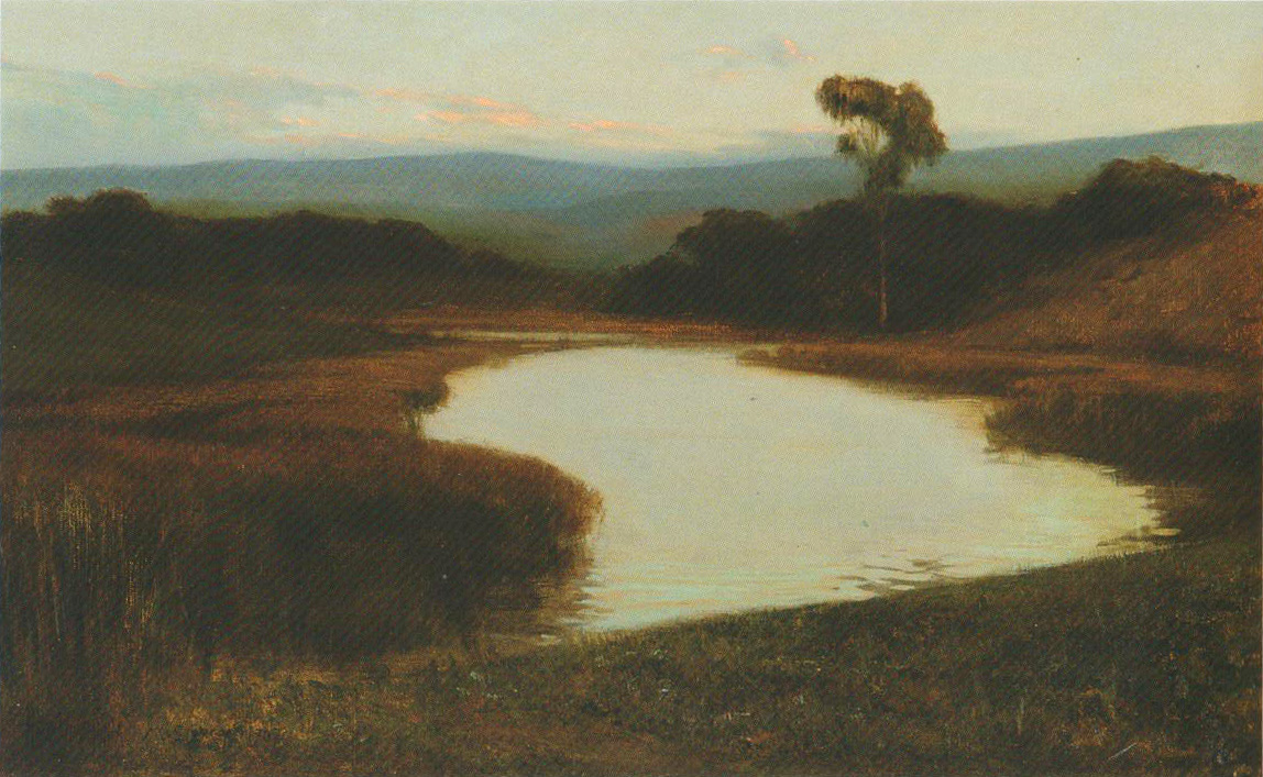
Carmel Bay, William Keith, n.d.
The view toward Carmel Point would suggest that Keith was likely near where present-day Ocean Avenue meets the beach. That he was seemingly halfway up a hill would suggest that he was further back into what is now the surrounding neighborhood. Neither are evident, Carmel Beach remains much as it was before colonizers arrived.
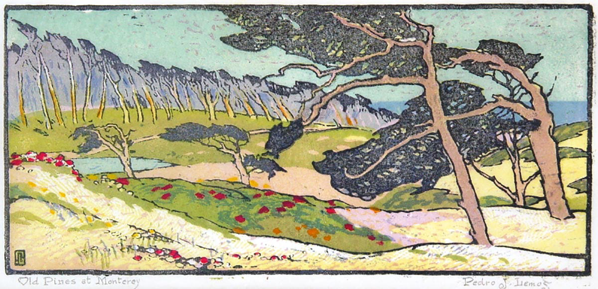
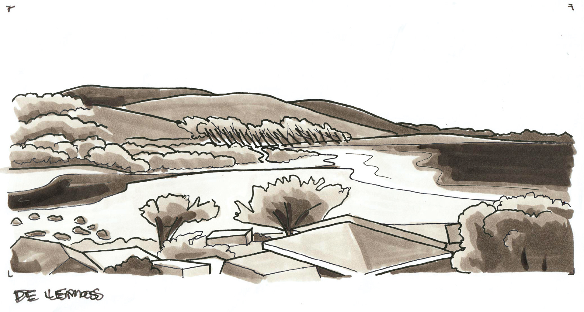
Old Pines at Monterey, Pedro De Lemos, 1921
De Lemos may have taken license in describing the proximity of the pine groves in the distance in order to allow them more characteristic formlines- difficult to capture by woodblock relief printmaking process.
Greek agrarian aesthetics were popular in Carmel advertising and theatre at the time. The graphic nature of carving fits well with the Arts & Crafts influences and increasing modernity.
Greek agrarian aesthetics were popular in Carmel advertising and theatre at the time. The graphic nature of carving fits well with the Arts & Crafts influences and increasing modernity.

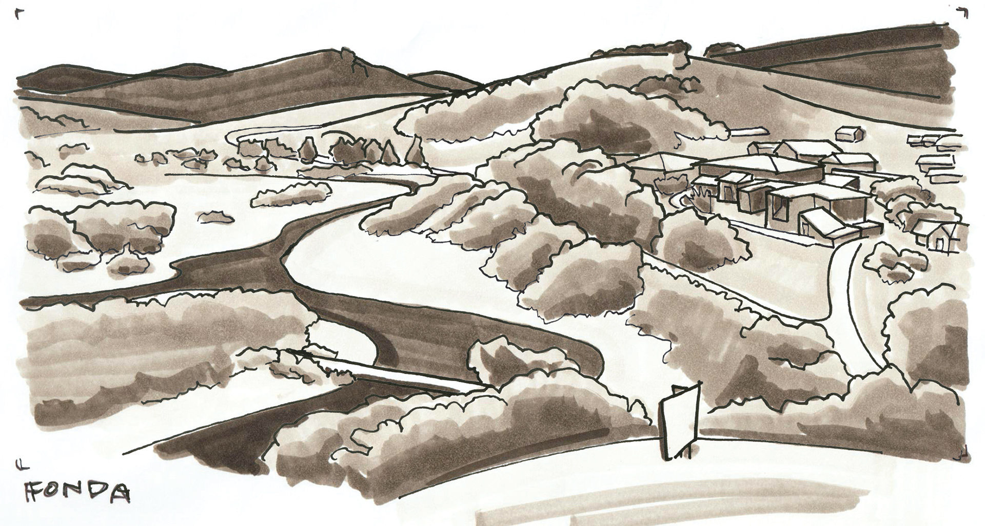
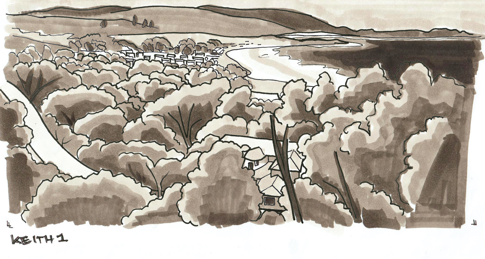
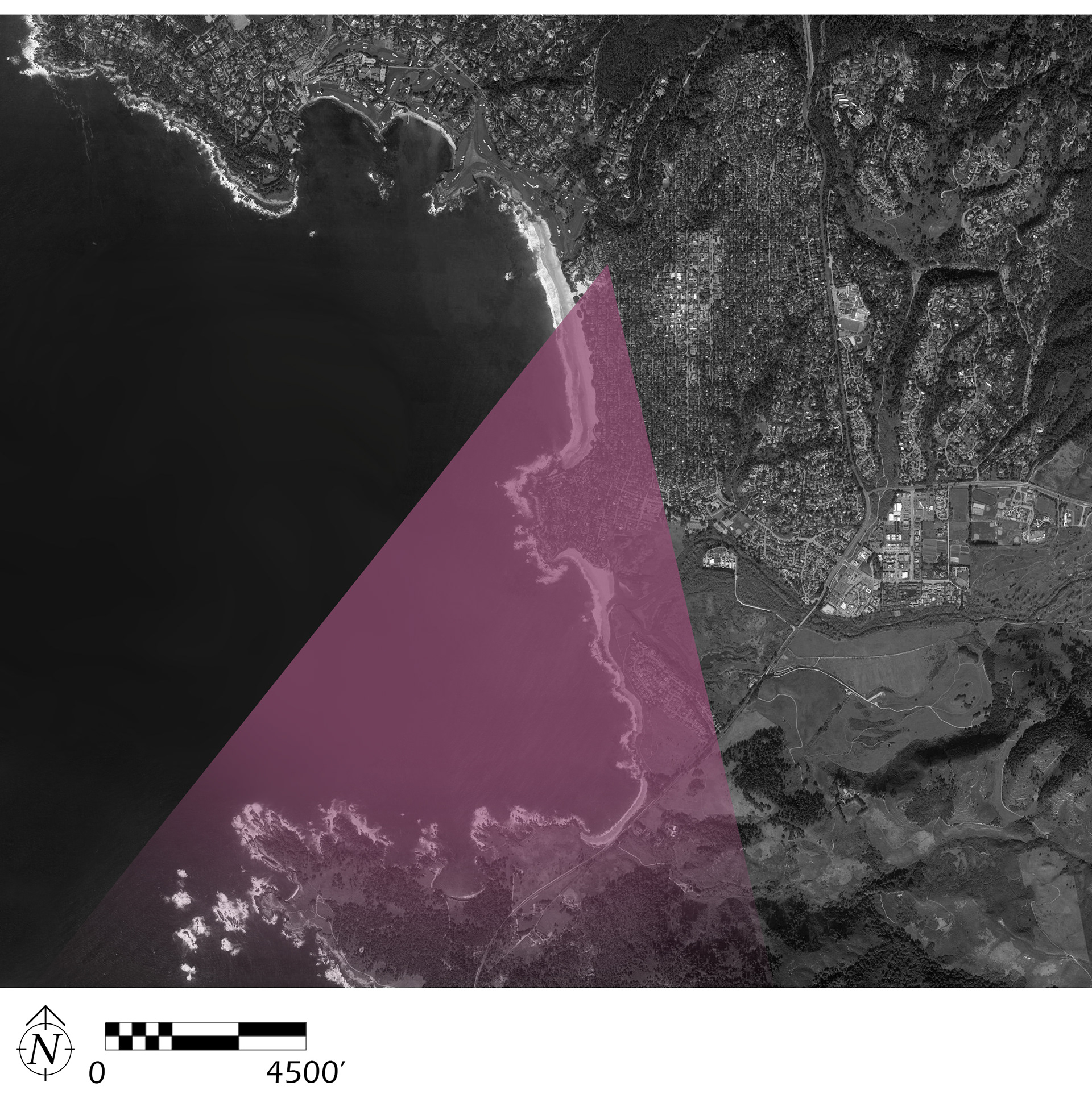
Monterey Peninsula Scene, Harry Stuart Fonda, (Carmel River Estuary), 1907
Not only is Fonda painting from the spot Jo Mora’s map (see: p.42) would recommend, this is the location of the ‘Crespi Cross’, a large crucifix installed along a trail at Carmel River State Beach (now Ishxenta) commemorating the Portola expidition’s ‘discovery’ of the Monterey peninsula (see: p.35).
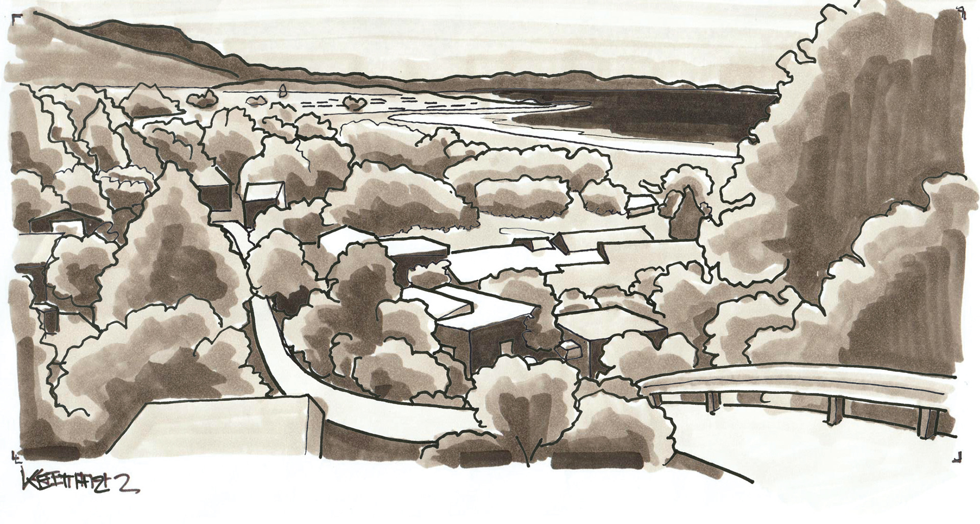
A pipe that channels water to the Carmel Area Wastewater District’s treatment plant (visible in the marker drawing above, to right) is scheduled to be buried along with other riparian restoration actions, as per F.R.E.E, a project involving a number of private and public clients and organizations.
A pipe that channels water to the Carmel Area Wastewater District’s treatment plant (visible in the marker drawing above, to right) is scheduled to be buried along with other riparian restoration actions, as per F.R.E.E, a project involving a number of private and public clients and organizations.
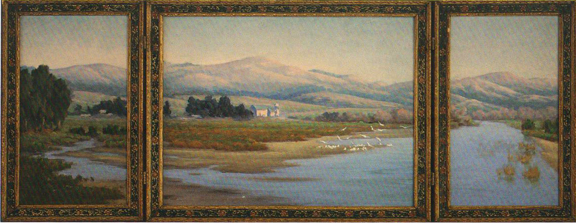
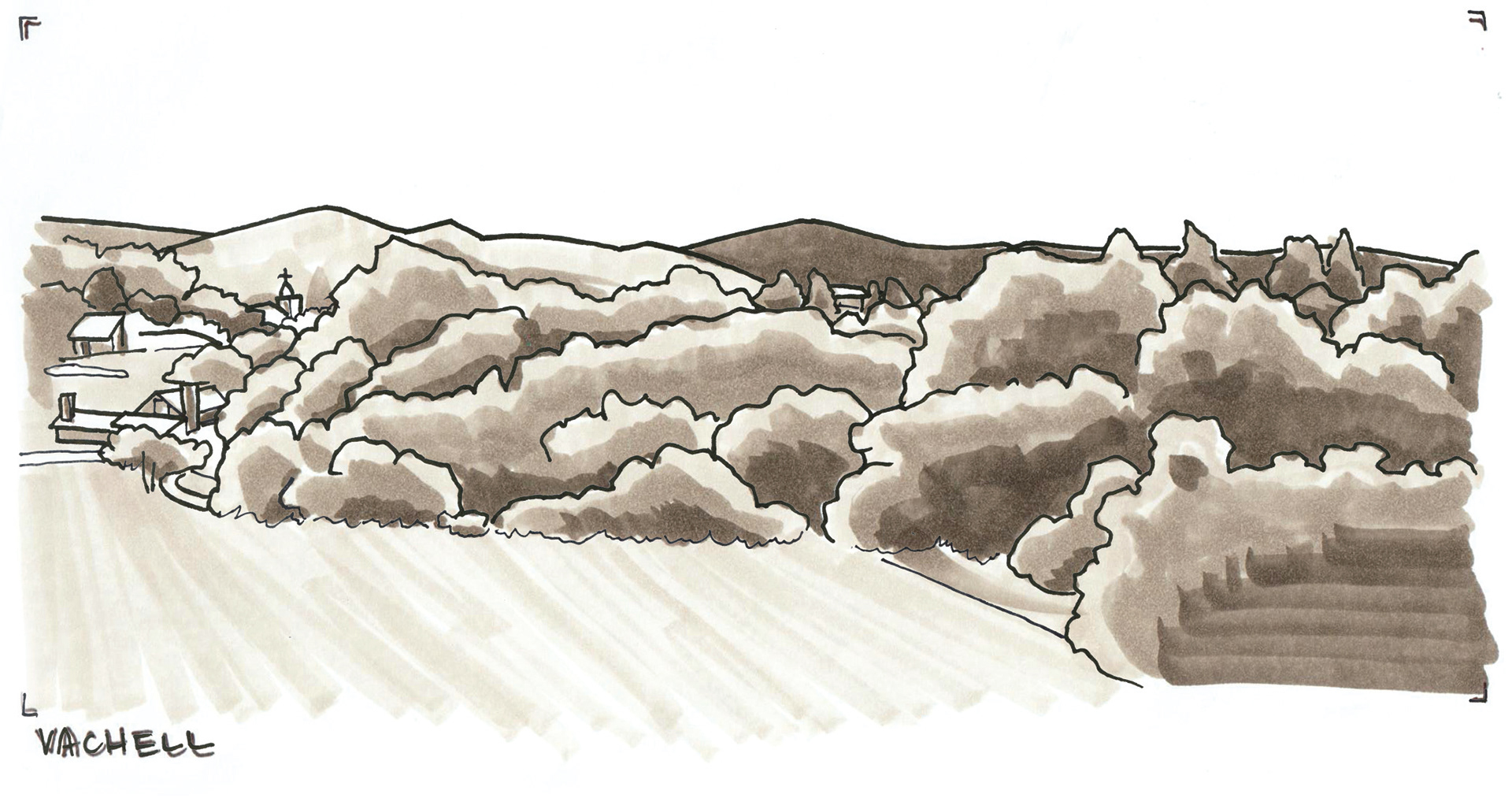
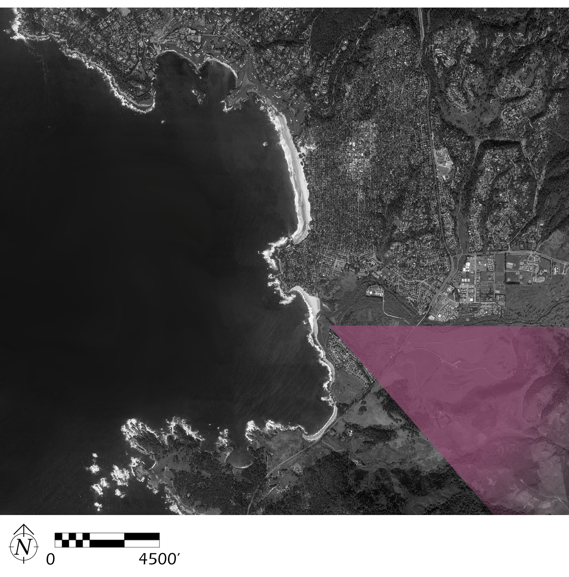
Carmel River Looking Toward Mission, Arthur Vachell, n.d.
Vachell’s view turns inland along the Carmel River toward Carmel Valley. Mission San Carlos Borromeo de Carmelo has been composed centrally in a triptych, with the highest mountain peak to the Southeast realigned to enhance the dramatic effect of the solitary mission. This is likely the most obstructed view due to vegetative growth at the property line of Mission Ranch, which lives on as a hotel and restaurant.
Palo Corona Regional Park / The Discovery Center
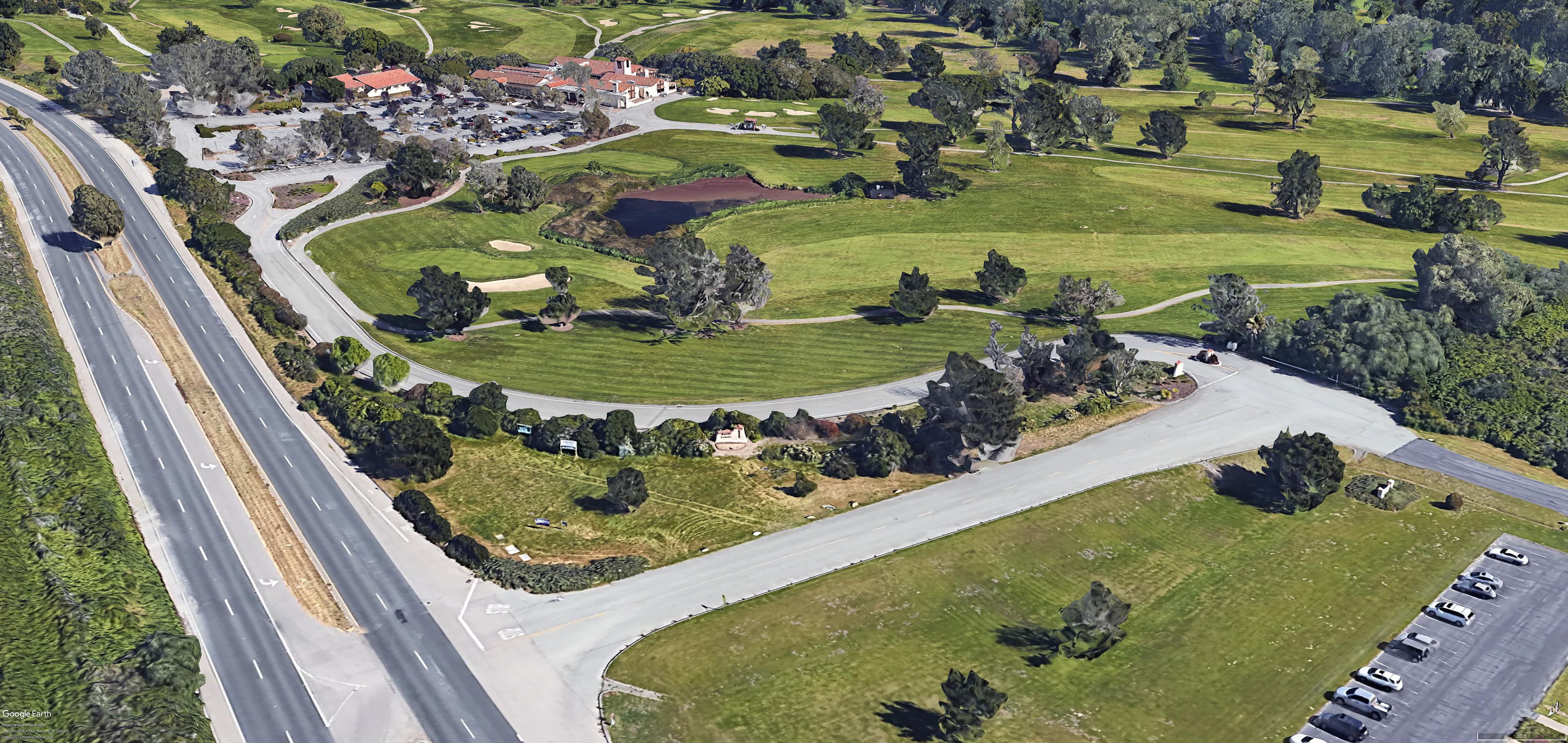
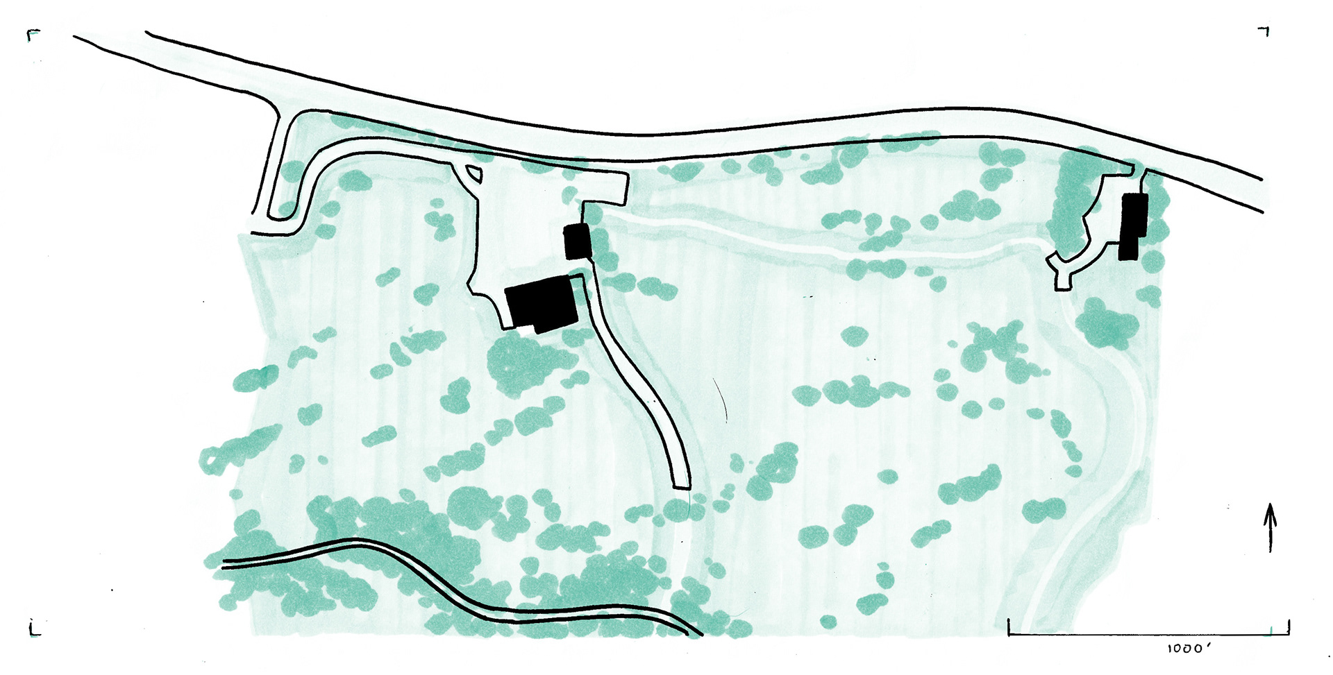
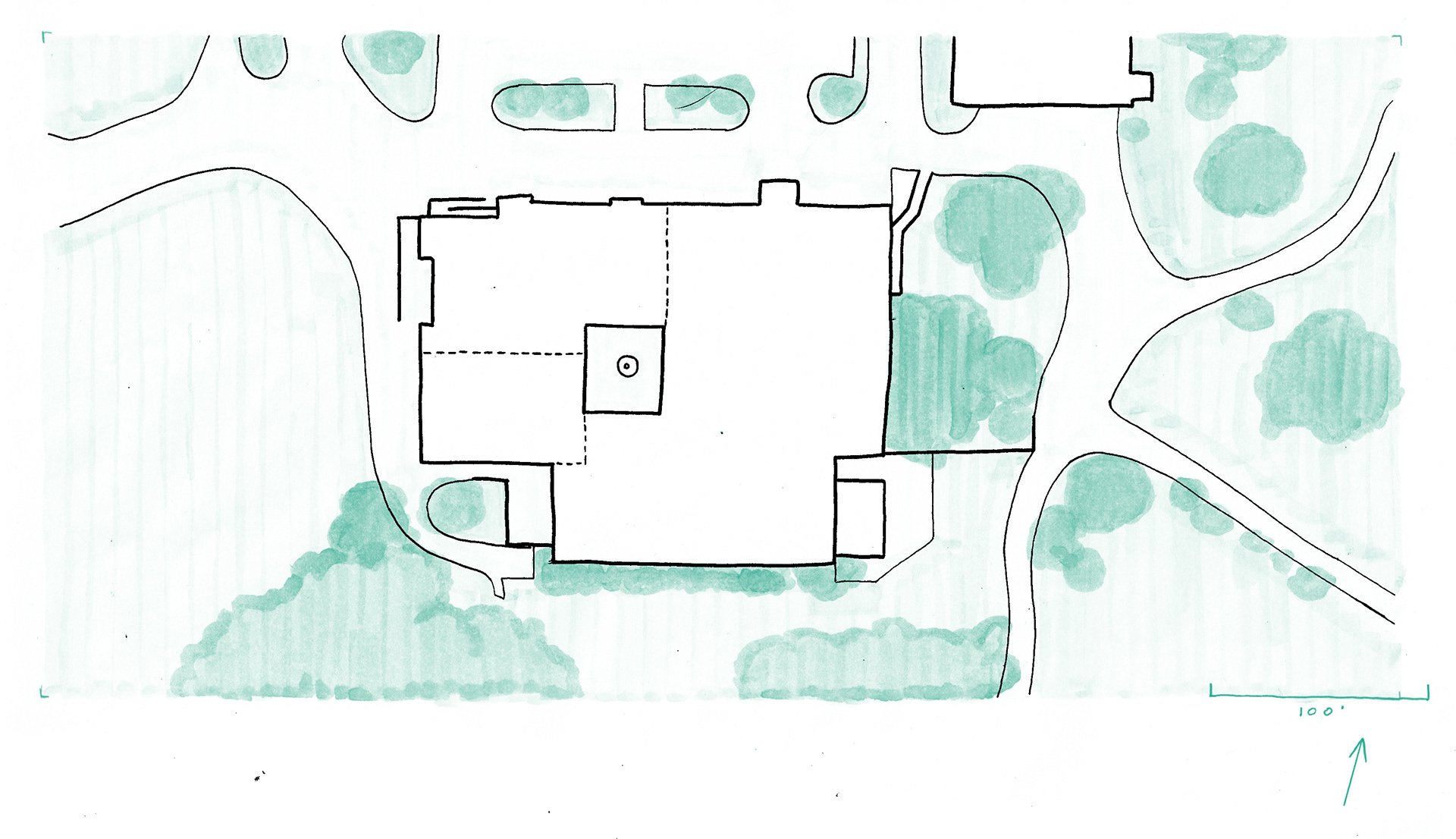
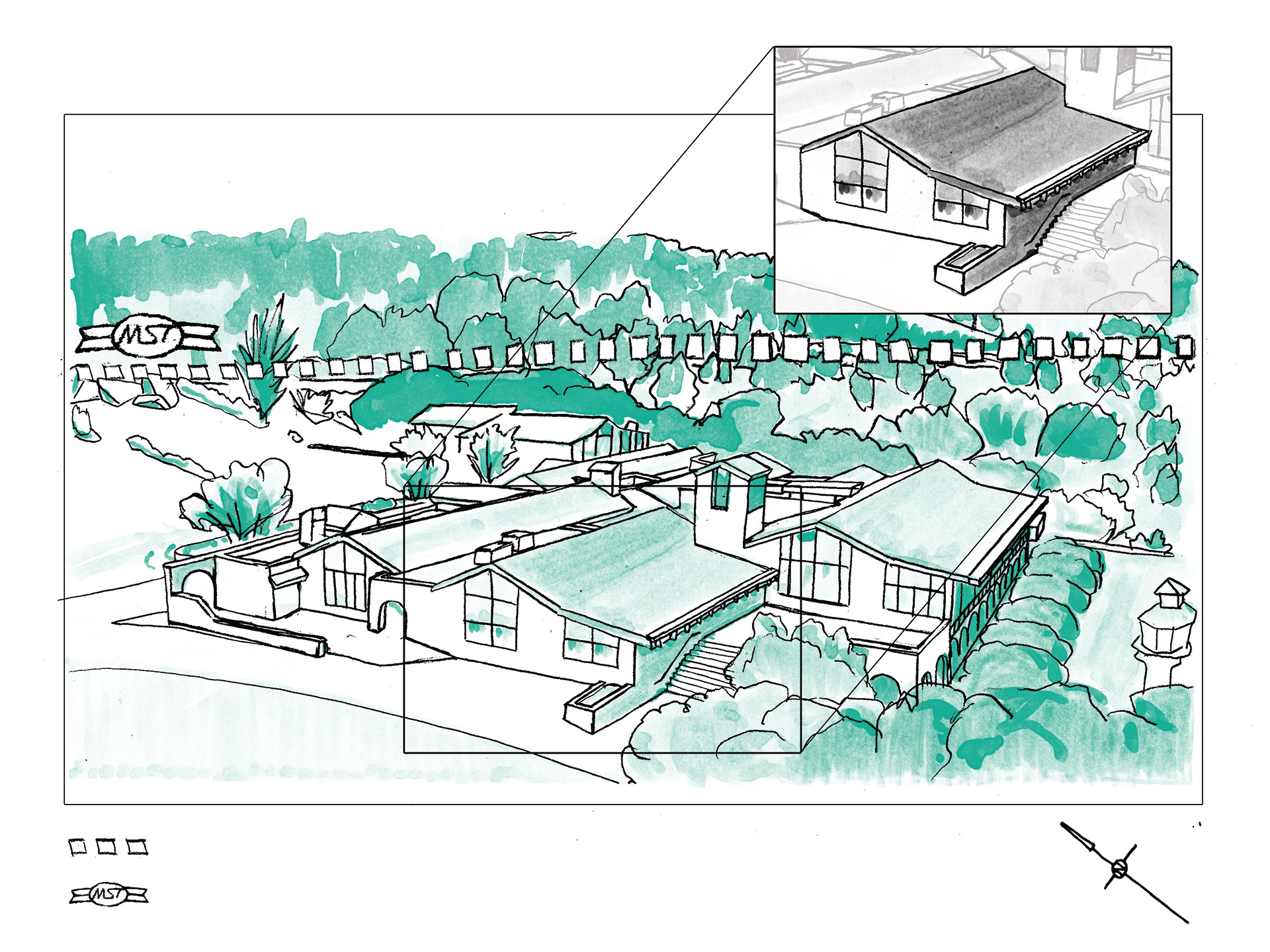
The Discovery Center is a wing of the clubhouse built for former land occupants, Rancho Canada Golf Club, around 1970. In 2016, their golf courses were acquired by a coalition of local and state organizations to be preserved as public park lands. The former clubhouse is now occupied as Monterey Peninsula Regional Parks District offices
and as a third party wedding venue. Closed indefinitely for COVID-19, The Discovery Center is currently vacant and unprogrammed, exposing it as a valuable asset with potential to host, preserve and continue a rich local art tradition. Re-imagining The Discovery Center as an arts and cultural space central to the area’s parks and historic sites merges landscape observation and preservation, enabling the community around it it to create tangible histories and preserve their parks and green spaces.
Artist-in-Residency programs, practiced widely by the National Park Service, encourage such creative ownership and information dissemination.
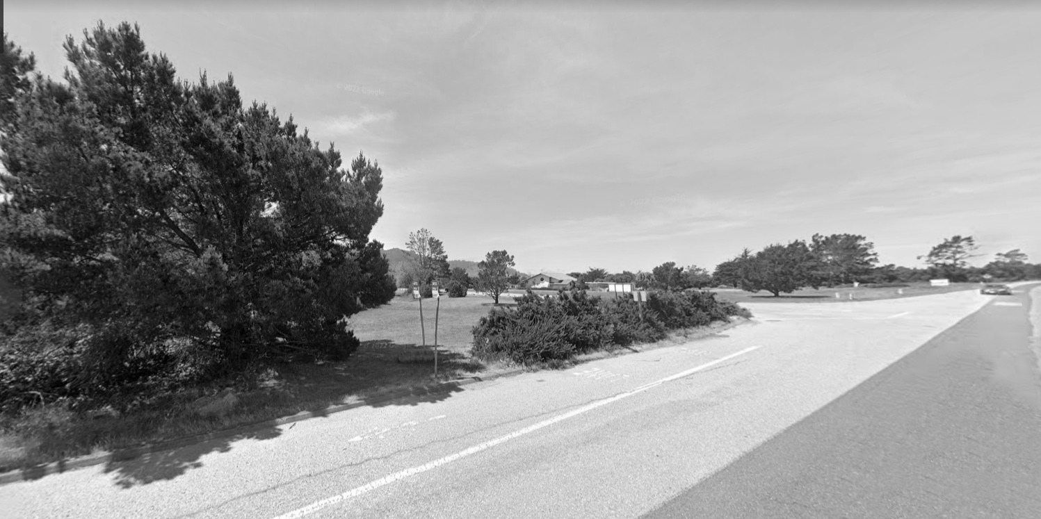
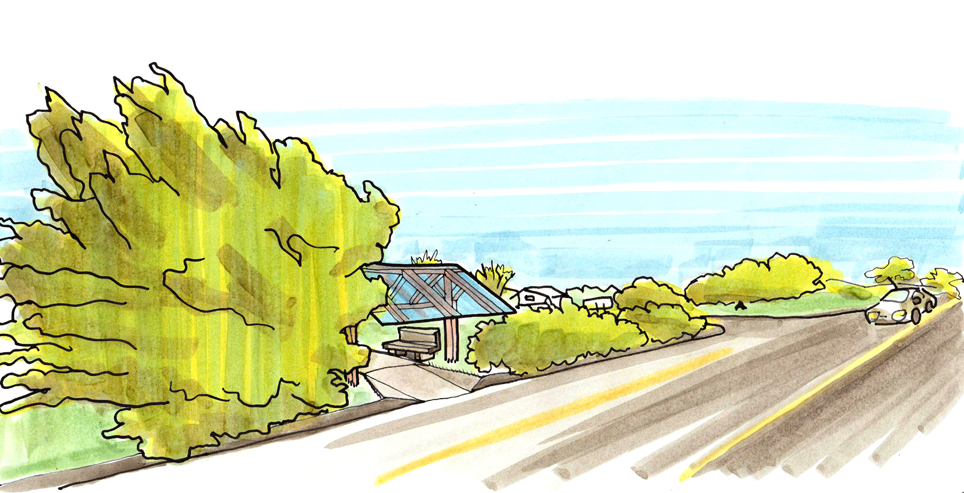
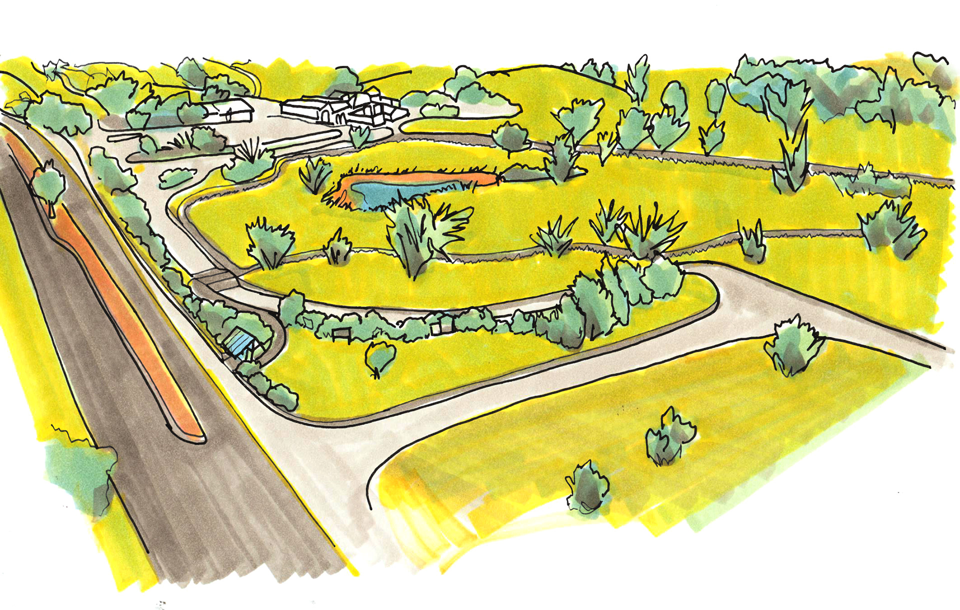
Accessibility to Carmel area parks and other resources is limited by a lack of safe and navigable pedestrian walkways. Compliance with American Disabilities Act standards for materials, sizing, grade and transitions could mean that a number of Monterey-Salinas Transit bus stops should be rebuilt and connected to the destinations where they arrive.
The images above show the current MST stop at Palo Corona Regional Park, which drops visitors off on the shoulder of a 55 mile-per-hour road with no tools or cues for wayfinding. Adding a small section of paved sidewalk and a simple shade structure would allow users of all abilities to experience Ishxenta State Park and other local destinations like Palo Corona Regional Park.
The images above show the current MST stop at Palo Corona Regional Park, which drops visitors off on the shoulder of a 55 mile-per-hour road with no tools or cues for wayfinding. Adding a small section of paved sidewalk and a simple shade structure would allow users of all abilities to experience Ishxenta State Park and other local destinations like Palo Corona Regional Park.